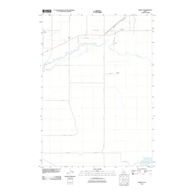
2010 Map of Rigby SE
USGS Topo · Published 2010About this map
Willow Creek meanders through the northern section of this agricultural landscape, where the legacy of early water management is visible through an intricate network of irrigation features. The Enterprise Canal, Anderson Canal, and Eagle Rock Canal intersect the terrain, reflecting the area's transition into a productive farming region. Local history is anchored by the Milo Cemetery and Ririe Cemetery, which, along with the Bucks School, point to the established rural communities that grew around these irrigation works.
Find a feature on this map
26 named features on this map. Tap any name to fly to it.
Don’t see what you’re looking for? This feature index may not catch every label — zoom into the map to look around manually.
Map Details
Editions of this 2010 Rigby SE Map
This is the sole edition of this map. No revisions or reprints were ever made.
Other maps of this area

1924 · Hell Creek
USGS Topo · 1:62,500

1924 · Ammon
USGS Topo · 1:62,500

1926 · Hell Creek
USGS Topo · 1:62,500

1948 · Rigby
USGS Topo · 1:24,000

1948 · Ucon
USGS Topo · 1:24,000

1949 · Ucon
USGS Topo · 1:24,000

1949 · Rigby
USGS Topo · 1:24,000

1950 · Ririe
USGS Topo · 1:24,000

1950 · Rigby
USGS Topo · 1:62,500

1950 · Rigby SE
USGS Topo · 1:24,000