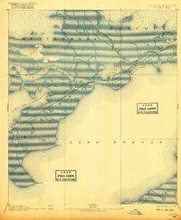
1893 Map of Rigolets
USGS Topo · Published 1917About this map
Ft. Pike stands as a sentinel at the western entrance of The Rigolets, a deep-water channel connecting the massive expanse of Lake Borgne to the interior. Compiled from 1892 surveys, this map documents the coastal wetlands of Orleans and St. Tammany parishes in Louisiana and Hancock County, Mississippi, before the landscape was significantly altered by modern infrastructure. The Louisville and Nashville Railroad cuts a straight path across the marsh, spanning the water at the Little Rigolets and passing through Pearl River Island. This rail line was the primary artery through the delta, connecting the small settlement of Claiborne to the broader Gulf region. The intricate network of tidal passes, including North Pass and St. Catharine Pass, illustrates the complex hydrology of the Pearl River delta system where it meets the sea.
Find a feature on this map
33 named features on this map. Tap any name to fly to it.
Don’t see what you’re looking for? This feature index may not catch every label — zoom into the map to look around manually.
Map Details
Editions of this 1893 Rigolets Map
5 editions found
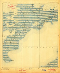
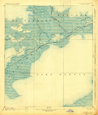
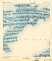
Other maps of this area

1892 · Chef Menteur
USGS Topo · 1:62,500

1892 · St. Bernard
USGS Topo · 1:62,500

1893 · Rigolets
USGS Topo · 1:62,500

1893 · Shell Beach
USGS Topo · 1:62,500

1893 · Toulme
USGS Topo · 1:62,500

1895 · Bodreau
USGS Topo · 1:62,500

1914 · Nicholson
USGS Topo · 1:62,500

1921 · Nicholson
USGS Topo · 1:62,500

1935 · Slidell
USGS Topo · 1:62,500

1935 · English Lookout
USGS Topo · 1:31,680