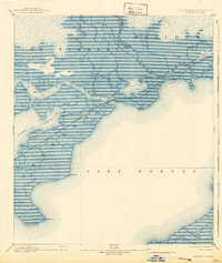
1893 Map of Rigolets
USGS Topo · Published 1940About this map
Ft. Pike stands as a sentinel at the western entrance of The Rigolets, anchoring a complex landscape of marsh and water where the Pearl River system meets the gulf. This late 19th-century coastal survey, based on reconnaissance by H.L. Baldwin Jr., details a labyrinth of tidal passes such as St Catharine Pass and North Pass that navigate between Lake St Catharine and the expansive Lake Borgne. The presence of a Hospital near the fort and the small settlement of Claiborne suggest the sparse but strategic human footprint in this wetland environment.
Find a feature on this map
33 named features on this map. Tap any name to fly to it.
Don’t see what you’re looking for? This feature index may not catch every label — zoom into the map to look around manually.
Map Details
Editions of this 1893 Rigolets Map
5 editions found
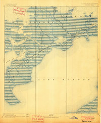
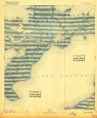
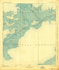
Other maps of this area

1892 · Chef Menteur
USGS Topo · 1:62,500

1892 · St. Bernard
USGS Topo · 1:62,500

1893 · Rigolets
USGS Topo · 1:62,500

1893 · Shell Beach
USGS Topo · 1:62,500

1893 · Toulme
USGS Topo · 1:62,500

1895 · Bodreau
USGS Topo · 1:62,500

1914 · Nicholson
USGS Topo · 1:62,500

1921 · Nicholson
USGS Topo · 1:62,500

1935 · Slidell
USGS Topo · 1:62,500

1935 · English Lookout
USGS Topo · 1:31,680