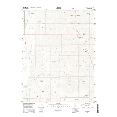
2014 Map of Rilda Canyon
USGS Topo · Published 2014About this map
The Manti-La Sal National Forest dominates this high-altitude landscape on the boundary of Sanpete and Emery counties. The terrain is defined by a series of deep drainage systems, including Rilda Canyon, Crandall Canyon, and Mill Fork Canyon, which cut through the high plateaus of East Mtn and Trail Mtn. State Rte 31 provides the primary access through the eastern portion of the quadrangle, following the course of Huntington Cr. In the west, Miller Flat Rd skirts the edge of Upper Joes Valley, leading toward the Indian Creek Campground. This 2014 survey documents the complex topography of the Wasatch Plateau, showing the intricate network of canyons and ridges such as Wild Cattle Ridge and Bald Ridge that characterize this part of central Utah.
Find a feature on this map
42 named features on this map. Tap any name to fly to it.
Don’t see what you’re looking for? This feature index may not catch every label — zoom into the map to look around manually.
Map Details
Editions of this 2014 Rilda Canyon Map
This is the sole edition of this map. No revisions or reprints were ever made.
Other maps of this area

1885 · Manti
USGS Topo · 1:250,000

1895 · Manti
USGS Topo · 1:250,000

1923 · Scofield
USGS Topo · 1:62,500

1923 · Hiawatha
USGS Topo · 1:62,500

1925 · Scofield
USGS Topo · 1:62,500

1925 · Hiawatha
USGS Topo · 1:62,500

1956 · Price
USGS Topo · 1:250,000

1960 · Price
USGS Topo · 1:250,000

1962 · Price
USGS Topo · 1:250,000

1965 · Huntington Reservoir
USGS Topo · 1:24,000