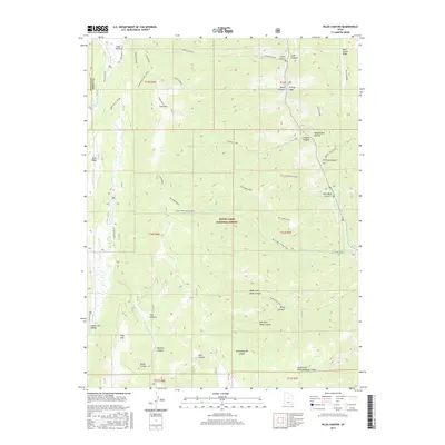
2017 Map of Rilda Canyon
USGS Topo · Published 2017About this map
Manti-Lasal National Forest dominates this section of the Wasatch Plateau, where the high-altitude terrain is defined by a series of deep canyons and prominent ridges along the Sanpete and Emery County line. This 2017 survey details the complex network of drainage systems including Rilda Canyon, Crandall Canyon, and Mill Fork Canyon, all feeding toward the Huntington Creek watershed. The map illustrates a landscape shaped by both natural erosion and human access, with significant landmarks like East Mountain and Trail Mountain standing between the carved hollows.
Find a feature on this map
47 named features on this map. Tap any name to fly to it.
Don’t see what you’re looking for? This feature index may not catch every label — zoom into the map to look around manually.
Map Details
Editions of this 2017 Rilda Canyon Map
This is the sole edition of this map. No revisions or reprints were ever made.
Other maps of this area

1885 · Manti
USGS Topo · 1:250,000

1895 · Manti
USGS Topo · 1:250,000

1923 · Scofield
USGS Topo · 1:62,500

1923 · Hiawatha
USGS Topo · 1:62,500

1925 · Scofield
USGS Topo · 1:62,500

1925 · Hiawatha
USGS Topo · 1:62,500

1956 · Price
USGS Topo · 1:250,000

1960 · Price
USGS Topo · 1:250,000

1962 · Price
USGS Topo · 1:250,000

1965 · Huntington Reservoir
USGS Topo · 1:24,000