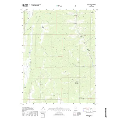
2020 Map of Rilda Canyon
USGS Topo · Published 2020About this map
Manti-La Sal National Forest dominates this section of the Wasatch Plateau, where the high ridges of East Mtn and Trail Mtn divide a complex system of drainages. The landscape is defined by its deep canyons and elevated grazing grounds, including the aptly named Bull Pasture and Wild Cattle Ridge. Water from Scad Valley Cr and Indian Cr flows through the western valleys, while the eastern slopes are carved by Right Fork Rilda Canyon and Left Fork Rilda Canyon.
Find a feature on this map
43 named features on this map. Tap any name to fly to it.
Don’t see what you’re looking for? This feature index may not catch every label — zoom into the map to look around manually.
Map Details
Editions of this 2020 Rilda Canyon Map
This is the sole edition of this map. No revisions or reprints were ever made.
Other maps of this area

1885 · Manti
USGS Topo · 1:250,000

1895 · Manti
USGS Topo · 1:250,000

1923 · Scofield
USGS Topo · 1:62,500

1923 · Hiawatha
USGS Topo · 1:62,500

1925 · Scofield
USGS Topo · 1:62,500

1925 · Hiawatha
USGS Topo · 1:62,500

1956 · Price
USGS Topo · 1:250,000

1960 · Price
USGS Topo · 1:250,000

1962 · Price
USGS Topo · 1:250,000

1965 · Huntington Reservoir
USGS Topo · 1:24,000