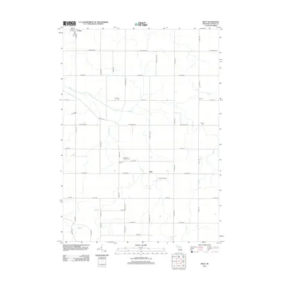
2012 Map of Riley
USGS Topo · Published 2012About this map
Agricultural lands in Clinton County dominate this landscape, defined by a rigid grid of rural roads and the slow movement of Stony Cr and Muskrat Cr. The tiny settlement of Riley sits centrally among these fields, while a corner of Fowler appears in the northwest, showing the intersection of S Main St and W 5th St. This area is particularly dense with small family and community burial grounds, including the Saint Peter's Lutheran Cem near Church Rd and the Oak Ridge Cem.
Find a feature on this map
41 named features on this map. Tap any name to fly to it.
Don’t see what you’re looking for? This feature index may not catch every label — zoom into the map to look around manually.
Map Details
Editions of this 2012 Riley Map
This is the sole edition of this map. No revisions or reprints were ever made.
Other maps of this area

1918 · Perrinton
USGS Topo · 1:62,500

1927 · De Witt
USGS Topo · 1:62,500

1943 · Perrinton
USGS Topo · 1:62,500

1945 · Portland
USGS Topo · 1:62,500

1954 · Midland
USGS Topo · 1:250,000

1958 · Midland
USGS Topo · 1:250,000

1958 · Grand Rapids
USGS Topo · 1:250,000

1959 · Midland
USGS Topo · 1:250,000

1961 · Grand Rapids
USGS Topo · 1:250,000

1962 · Grand Rapids
USGS Topo · 1:250,000