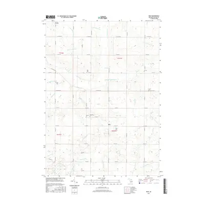
2017 Map of Riley
USGS Topo · Published 2017About this map
The small settlement of Riley sits at the heart of this agricultural landscape in Clinton County, where a complex network of man-made drains and natural creeks defines the local topography. This 2017 survey reveals the persistent imprint of nineteenth-century settlement through its numerous burial grounds, including the Saint Peter's Lutheran Cem and Oak Ridge Cem. The transition from the rural village of Riley toward the southern edge of Fowler in the northwest corner highlights a region deeply tied to its hydrological management, evidenced by the intricate channeling of Stony Creek and the Westphalia and Riley Drain. Genealogy enthusiasts can trace local lineage at smaller plots like Boughton Cem and Georgia Cem. Aviation history is noted by the presence of Forest Hill Airport, while the southern reaches of the quadrangle feature the natural wetland of Mud Lake.
Find a feature on this map
63 named features on this map. Tap any name to fly to it.
Don’t see what you’re looking for? This feature index may not catch every label — zoom into the map to look around manually.
Map Details
Editions of this 2017 Riley Map
This is the sole edition of this map. No revisions or reprints were ever made.
Other maps of this area

1918 · Perrinton
USGS Topo · 1:62,500

1927 · De Witt
USGS Topo · 1:62,500

1943 · Perrinton
USGS Topo · 1:62,500

1945 · Portland
USGS Topo · 1:62,500

1954 · Midland
USGS Topo · 1:250,000

1958 · Midland
USGS Topo · 1:250,000

1958 · Grand Rapids
USGS Topo · 1:250,000

1959 · Midland
USGS Topo · 1:250,000

1961 · Grand Rapids
USGS Topo · 1:250,000

1962 · Grand Rapids
USGS Topo · 1:250,000