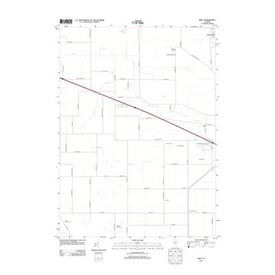
2012 Map of Riley
USGS Topo · Published 2012About this map
Coon Cr and Spring Cr wind through this agricultural landscape in McHenry County, defining the drainage patterns for a region dominated by family-named farmsteads and rural infrastructure. The settlement of Riley serves as a local anchor, situated near the intersection of Anthony Rd and Riley Rd. This 2012 survey illustrates a modern rural economy where traditional agriculture exists alongside a high density of private landing strips, such as Walpole Airport, Krause Airport, and Wind Rose Farm Airport.
Find a feature on this map
58 named features on this map. Tap any name to fly to it.
Don’t see what you’re looking for? This feature index may not catch every label — zoom into the map to look around manually.
Map Details
Editions of this 2012 Riley Map
This is the sole edition of this map. No revisions or reprints were ever made.
Other maps of this area

1918 · Belvidere
USGS Topo · 1:62,500

1918 · Kirkland
USGS Topo · 1:62,500

1932 · Harvard
USGS Topo · 1:48,000

1937 · Harvard
USGS Topo · 1:62,500

1938 · Genoa
USGS Topo · 1:62,500

1944 · Belvidere
USGS Topo · 1:62,500

1954 · Rockford
USGS Topo · 1:250,000

1955 · Rockford
USGS Topo · 1:250,000

1958 · Rockford
USGS Topo · 1:250,000

1963 · Rockford
USGS Topo · 1:250,000