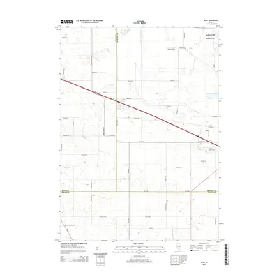
2015 Map of Riley
USGS Topo · Published 2015About this map
Coon Cr and Spring Cr wind through this rural corridor at the junction of McHenry, Boone, and DeKalb counties. The map captures the agricultural and transportation layout of the area near Riley and the southern edge of Marengo, where Interstate 90 bisects the landscape. Local history is preserved in several rural burial sites, including Barber Cem, Ney Cem, and North Kingston Cem, which serve as important landmarks for genealogical research. Small-scale aviation is represented by Walpole Airport and the Wind Rose Farm Airport. The road network remains dominated by long stretches of family-named thoroughfares like Carlson Rd and Garden Prairie Rd, reflecting the enduring farm-based economy of the region. This survey also identifies the Indian Trails park area, marking a dedicated recreational space amidst the extensive grid of section lines and township boundaries.
Find a feature on this map
56 named features on this map. Tap any name to fly to it.
Don’t see what you’re looking for? This feature index may not catch every label — zoom into the map to look around manually.
Map Details
Editions of this 2015 Riley Map
This is the sole edition of this map. No revisions or reprints were ever made.
Other maps of this area

1918 · Belvidere
USGS Topo · 1:62,500

1918 · Kirkland
USGS Topo · 1:62,500

1932 · Harvard
USGS Topo · 1:48,000

1937 · Harvard
USGS Topo · 1:62,500

1938 · Genoa
USGS Topo · 1:62,500

1944 · Belvidere
USGS Topo · 1:62,500

1954 · Rockford
USGS Topo · 1:250,000

1955 · Rockford
USGS Topo · 1:250,000

1958 · Rockford
USGS Topo · 1:250,000

1963 · Rockford
USGS Topo · 1:250,000