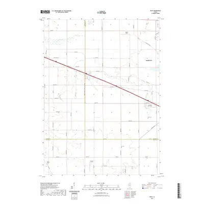
2021 Map of Riley
USGS Topo · Published 2021About this map
Agricultural lands at the borders of Boone, McHenry, and DeKalb counties define this rural landscape near Marengo. The terrain is shaped by the subtle drainages of Coon Cr and Spring Cr, which meander through a grid of section lines and country roads. Transportation and aviation are prominent features of the area, evidenced by the presence of several private airstrips including Walpole Airport, Wind Rose Farm Airport, and the Idlas RLA Airport further south.
Find a feature on this map
55 named features on this map. Tap any name to fly to it.
Don’t see what you’re looking for? This feature index may not catch every label — zoom into the map to look around manually.
Map Details
Editions of this 2021 Riley Map
This is the sole edition of this map. No revisions or reprints were ever made.
Other maps of this area

1918 · Belvidere
USGS Topo · 1:62,500

1918 · Kirkland
USGS Topo · 1:62,500

1932 · Harvard
USGS Topo · 1:48,000

1937 · Harvard
USGS Topo · 1:62,500

1938 · Genoa
USGS Topo · 1:62,500

1944 · Belvidere
USGS Topo · 1:62,500

1954 · Rockford
USGS Topo · 1:250,000

1955 · Rockford
USGS Topo · 1:250,000

1958 · Rockford
USGS Topo · 1:250,000

1963 · Rockford
USGS Topo · 1:250,000