2024 Map of Riley
USGS Topo · Published 2024About this map
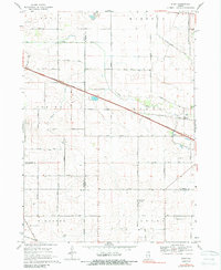
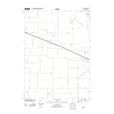
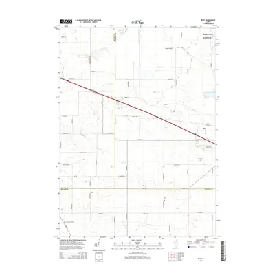
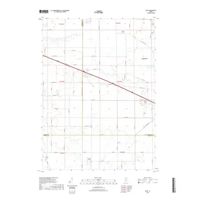
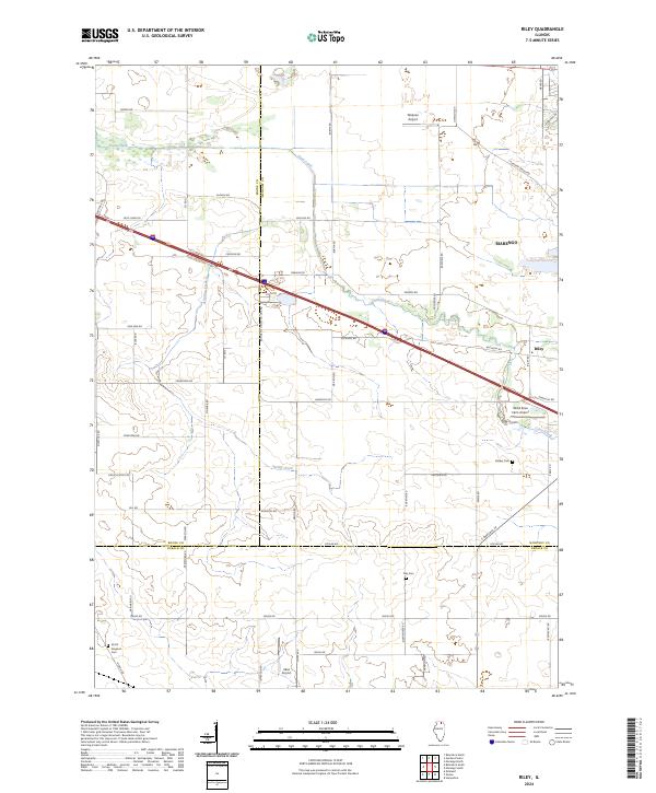
Coon Creek and Spring Creek define the drainage of this northern Illinois agricultural landscape at the meeting point of Boone, McHenry, and DeKalb counties. The settlement of Riley and the outskirts of Marengo anchor the region, which is characterized by a dense grid of rural roads and scattered aviation facilities including Walpole Airport, Wind Rose Farm Airport, and Idlas Airport. Genealogists will find particular value in the documentation of local burial sites, such as Barber Cem near the creek, Ney Cem, and the North Kingston Cem in the southwestern corner. The map illustrates a modern infrastructure of interstate highways and county lines cutting across a historic farming interior, where landmarks like Boone Co McHenry Co Line Rd follow long-established jurisdictional boundaries.
Find a feature on this map
56 named features on this map. Tap any name to fly to it.
Don’t see what you’re looking for? This feature index may not catch every label — zoom into the map to look around manually.
Map Details
Editions of this 2024 Riley Map
This is the sole edition of this map. No revisions or reprints were ever made.
Historical Maps of Riley Through Time
6 maps found