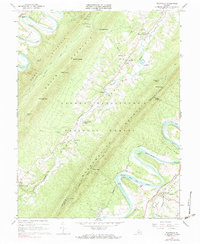
1966 Map of Rileyville
USGS Topo · Published 1983About this map
Massanutten Mountain dominates this mid-1960s survey of the Shenandoah Valley, where the ridge lines of Powell Mountain and Green Mountain frame the secluded passage of Passage Creek. The map documents a rural landscape defined by narrow valleys and gap settlements like Seven Fountains and Detrick. Local genealogy and community life are well-represented by numerous country sanctuaries, including Saint Davids Church, White Chapel, and Trinity Ch. Along the winding South Fork Shenandoah River, the presence of Fosters Landing and Goods Mill points to an earlier era of river-based commerce and milling. The southeastern corner of the sheet transitions into the valley floor near Rileyville, where the Norfolk and Western Ry runs parallel to the river. Steep topographic relief is a defining characteristic, with numerous named passages such as Habron Gap and Walters Gap providing the only routes through the high timber of the George Washington National Forest.
Find a feature on this map
57 named features on this map. Tap any name to fly to it.
Don’t see what you’re looking for? This feature index may not catch every label — zoom into the map to look around manually.
Map Details
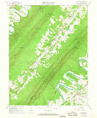
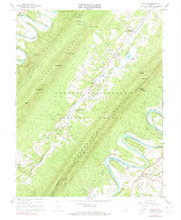
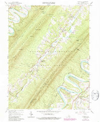
Editions of this 1966 Rileyville Map
4 editions found
Other maps of this area

1892 · Woodstock
USGS Topo · 1:125,000

1893 · Luray
USGS Topo · 1:125,000

1905 · Luray
USGS Topo · 1:125,000

1923 · Edinburg
USGS Topo · 1:62,500

1929 · Stony Man
USGS Topo · 1:48,000

1933 · Stony Man
USGS Topo · 1:62,500

1942 · Mt Jackson
USGS Topo · 1:62,500

1946 · Mt Jackson
USGS Topo · 1:62,500

1947 · Mt Jackson
USGS Topo · 1:62,500

1947 · Strasburg
USGS Topo · 1:62,500