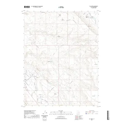
2020 Map of Rill Creek
USGS Topo · Published 2020About this map
Castle Valley and its high-desert topography define this portion of Grand County as it appeared in the early 21st century. The map illustrates a landscape of dramatic elevation changes, from the sheer edges of the Porcupine Rim and Grandstaff Canyon to the elevated plateaus of Wilson Mesa and South Mesa. A network of rural residential roads such as Castle Valley Dr and Spanish Trail Rd connects local homesteads to the rugged interior.
Find a feature on this map
51 named features on this map. Tap any name to fly to it.
Don’t see what you’re looking for? This feature index may not catch every label — zoom into the map to look around manually.
Map Details
Editions of this 2020 Rill Creek Map
This is the sole edition of this map. No revisions or reprints were ever made.
Other maps of this area

1885 · La Sal
USGS Topo · 1:250,000

1954 · Mt Peale 2 NW
USGS Topo · 1:24,000

1954 · Mt. Waas 3 NE
USGS Topo · 1:24,000

1954 · Mt. Waas 3 SE
USGS Topo · 1:24,000

1954 · Carlisle 1 NE
USGS Topo · 1:24,000

1954 · Mt Peale 2 NE
USGS Topo · 1:24,000

1954 · Mt. Waas 3 NW
USGS Topo · 1:24,000

1954 · Mt. Waas 3 SW
USGS Topo · 1:24,000

1954 · La Sal Junction
USGS Topo · 1:62,500

1954 · Castle Valley
USGS Topo · 1:62,500