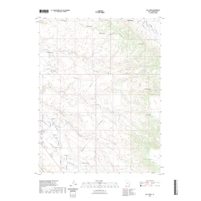
2023 Map of Rill Creek
USGS Topo · Published 2023About this map
Castle Valley and the surrounding mesa land dominate this 2023 survey of Grand County, where the high desert terrain is defined by dramatic erosional features like Coffee Pot Rock and Porcupine Rim. The landscape is etched with complex drainage systems including Rill Creek, North Fork Mill Creek, and Grandstaff Canyon. This area illustrates a modern transition from the open, natural expanses of Wilson Mesa and Johnsons Up on Top toward the residential and commercial outskirts near Moab, evidenced by a dense network of local roads such as Spanish Valley Dr and Sand Flats Rd.
Find a feature on this map
49 named features on this map. Tap any name to fly to it.
Don’t see what you’re looking for? This feature index may not catch every label — zoom into the map to look around manually.
Map Details
Editions of this 2023 Rill Creek Map
This is the sole edition of this map. No revisions or reprints were ever made.
Other maps of this area

1885 · La Sal
USGS Topo · 1:250,000

1954 · Mt Peale 2 NW
USGS Topo · 1:24,000

1954 · Mt. Waas 3 NE
USGS Topo · 1:24,000

1954 · Mt. Waas 3 SE
USGS Topo · 1:24,000

1954 · Carlisle 1 NE
USGS Topo · 1:24,000

1954 · Mt Peale 2 NE
USGS Topo · 1:24,000

1954 · Mt. Waas 3 NW
USGS Topo · 1:24,000

1954 · Mt. Waas 3 SW
USGS Topo · 1:24,000

1954 · La Sal Junction
USGS Topo · 1:62,500

1954 · Castle Valley
USGS Topo · 1:62,500