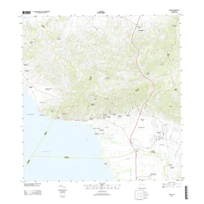
2013 Map of Rincon
USGS Topo · Published 2013About this map
The Rio Grande de Añasco meanders through the coastal lowlands of western Puerto Rico, meeting the sea near the historic Central Igualdad industrial site. This terrain transitions from the rugged heights of Pico Atalaya and Cerro Vigía down to the beaches of La Playa and the Arrecife Peregrina coastline. The settlement of Añasco serves as a local hub, connected to neighboring Rincón and Stella by the coastal corridor of PR-115.
Find a feature on this map
80 named features on this map. Tap any name to fly to it.
Don’t see what you’re looking for? This feature index may not catch every label — zoom into the map to look around manually.
Map Details
Editions of this 2013 Rincon Map
This is the sole edition of this map. No revisions or reprints were ever made.
Other maps of this area

1937 · Aguadilla
USGS Topo · 1:20,000

1937 · Moca
USGS Topo · 1:20,000

1938 · Alto Sano
USGS Topo · 1:20,000

1939 · Mayaguez
USGS Topo · 1:30,000

1941 · Moca
USGS Topo · 1:30,000

1941 · Rincon
USGS Topo · 1:30,000

1941 · Rincon
USGS Topo · 1:30,000

1941 · Rosario
USGS Topo · 1:30,000

1942 · Moca
USGS Topo · 1:30,000

1942 · Central La Plata
USGS Topo · 1:30,000
Featured Places
- Añasco
- Sector Los Ríos, Añasco
- Urbanización Las Casonas, Aguada
- Sector Pilar Figueroa, Aguada
- Sector Rubí, Aguada