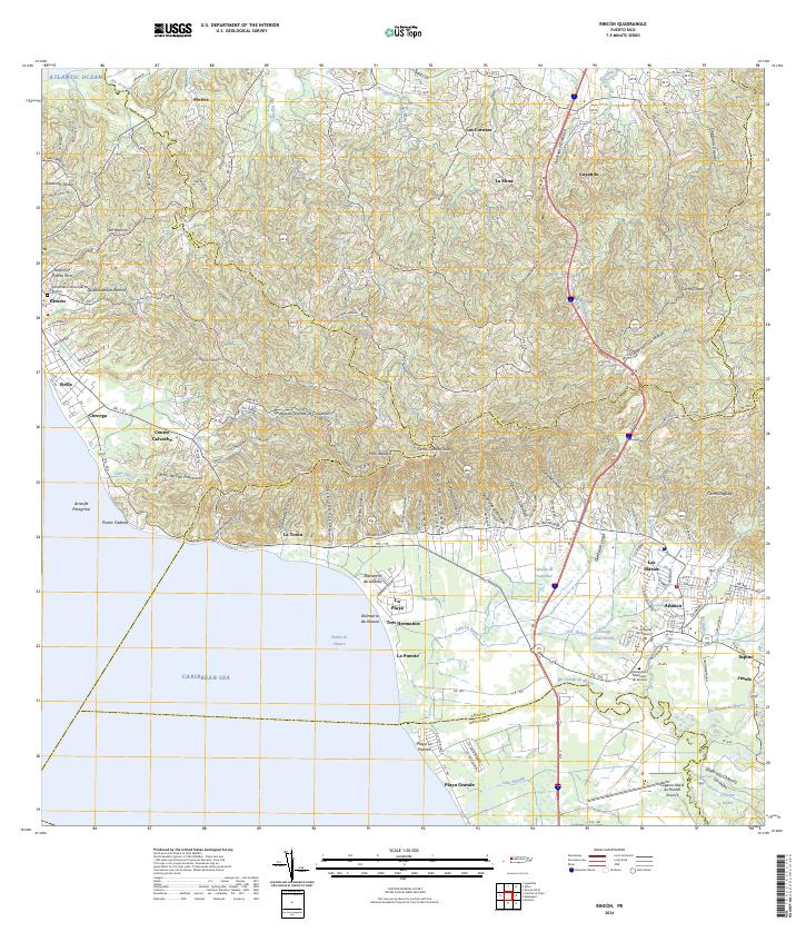
2024 Map of Rincon
USGS Topo · Published 2024About this map
Rincón and the adjacent coastline along the Atlantic Ocean and Caribbean Sea define this western Puerto Rican landscape. The terrain shifts from the maritime features of Arrecife Peregrina and Punta Cadena to the inland heights of La Cadena and Cerro Canta Gallo. The southern portion of the map is dominated by the alluvial plains of the Río Grande de Añasco, where agricultural and wetland features like Ciénaga Pozo Hondo and Ciénaga Guayabal meet the sea.
Find a feature on this map
81 named features on this map. Tap any name to fly to it.
Don’t see what you’re looking for? This feature index may not catch every label — zoom into the map to look around manually.
Map Details
Editions of this 2024 Rincon Map
This is the sole edition of this map. No revisions or reprints were ever made.
Other maps of this area

1937 · Aguadilla
USGS Topo · 1:20,000

1937 · Moca
USGS Topo · 1:20,000

1938 · Alto Sano
USGS Topo · 1:20,000

1939 · Mayaguez
USGS Topo · 1:30,000

1941 · Moca
USGS Topo · 1:30,000

1941 · Rincon
USGS Topo · 1:30,000

1941 · Rincon
USGS Topo · 1:30,000

1941 · Rosario
USGS Topo · 1:30,000

1942 · Moca
USGS Topo · 1:30,000

1942 · Central La Plata
USGS Topo · 1:30,000
Featured Places
- Añasco
- Sector Los Ríos, Añasco
- Urbanización Las Casonas, Aguada
- Sector Pilar Figueroa, Aguada
- Sector Rubí, Aguada