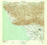
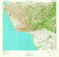
1949 Map of Rincon
USGS Topo · Published 1952About this map
The western coastline of Puerto Rico is dominated here by the prominent headland of Punta Higüero and its landmark Punta Higüero Lighthouse. In the late 1940s, the region was defined by a landscape of agricultural production, specifically sugar cane, as evidenced by the numerous colonias and the rail network of the American Railroad of Puerto Rico. The tracks trace the coast through Córcega and inland toward Central Igualdad, supported by several specialized spurs such as Desvío Santoni and Desvío Bianchi.
Find a feature on this map
107 named features on this map. Tap any name to fly to it.
Don’t see what you’re looking for? This feature index may not catch every label — zoom into the map to look around manually.
Map Details
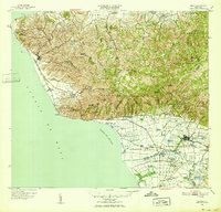
Editions of this 1949 Rincon Map
2 editions found
Historical Maps of Añasco Through Time
15 maps found

1941 Rincon
Rincón Municipio, PR

1941 Rincon
Rincón Municipio, PR

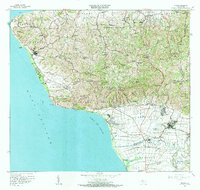
1947 Rincon
Rincón Municipio, PR

1947 Rincon
Rincón Municipio, PR
1949 Rincon
Rincón Municipio, PR
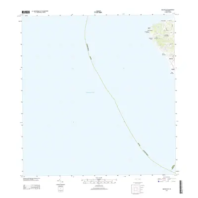
1950 Rincon NO
Rincón Municipio, PR
1950 Rincon ONO
Rincón Municipio, PR
1955 Rincon
Rincón Municipio, PR
1966 Rincon
Rincón Municipio, PR
2013 Rincon OE W
Rincón Municipio, PR
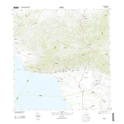
2013 Rincon
Rincón Municipio, PR
2018 Rincon OE W
Rincón Municipio, PR
2018 Rincon
Rincón Municipio, PR
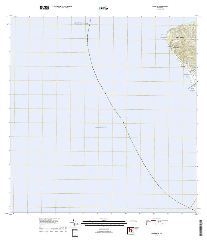
2024 Rincon OE W
Rincón Municipio, PR
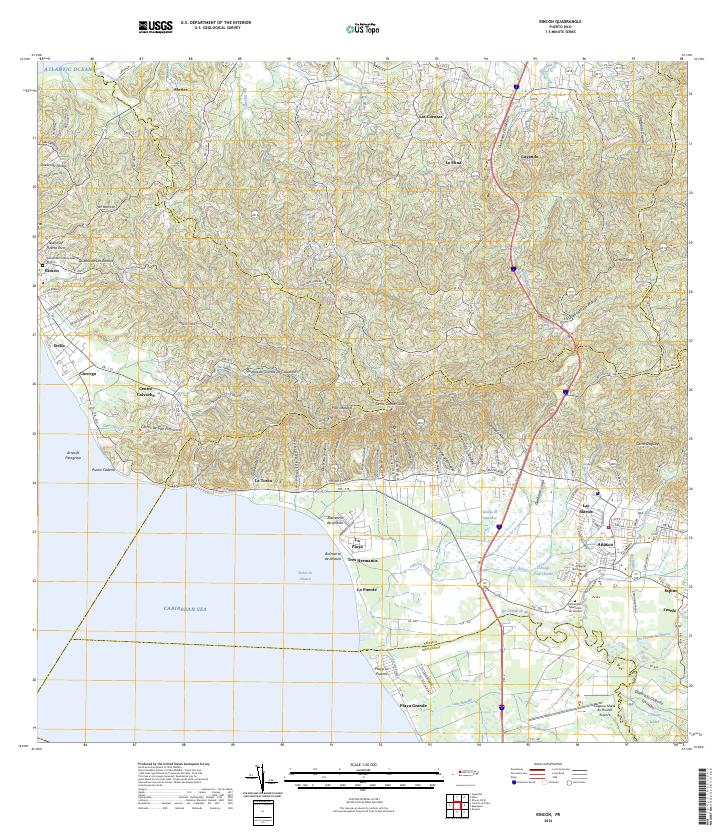
2024 Rincon
Rincón Municipio, PR
Featured Locations
- Villas del Río Ingenio, Aguada
- Sector García, Aguada
- Sector Pilar Figueroa, Aguada
- Rincón, Rincón
- Añasco, Añasco