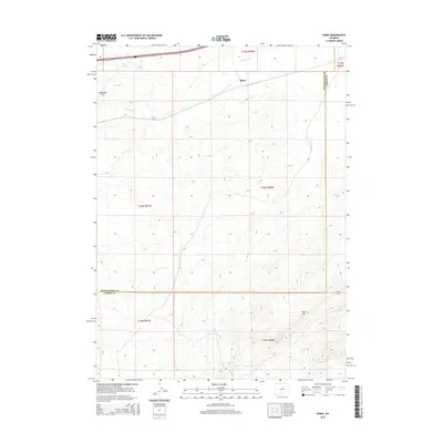
2015 Map of Riner
USGS Topo · Published 2015About this map
Riner is situated in the high desert landscape of Sweetwater County, where the infrastructure of modern travel intersects with older topographical landmarks. This 2015 survey highlights the passage of major transportation corridors, including Interstate 80 and U.S. Route 30, as they traverse the northern edge of the quadrangle alongside State Route 789. These routes follow the natural ease of the terrain near Piker Spring, a notable water source in an otherwise arid environment. The map provides a detailed look at the geographic character of the region, anchored by the prominent rise of Cherokee Hill to the west. The layout of the land reflects the expansive ranching and energy-corridor history typical of this part of Wyoming, where the vast township and range system dictates the modern property boundaries and access roads across the high plains.
Find a feature on this map
6 named features on this map. Tap any name to fly to it.
Don’t see what you’re looking for? This feature index may not catch every label — zoom into the map to look around manually.
Map Details
Editions of this 2015 Riner Map
This is the sole edition of this map. No revisions or reprints were ever made.
Other maps of this area

1954 · Rawlins
USGS Topo · 1:250,000

1956 · Rawlins Peak
USGS Topo · 1:62,500

1956 · Bridger Pass
USGS Topo · 1:62,500

1958 · Rawlins
USGS Topo · 1:250,000

1962 · Rawlins
USGS Topo · 1:250,000

1966 · Jawbone Ranch
USGS Topo · 1:24,000

1966 · Creston Junction
USGS Topo · 1:24,000

1966 · Seaverson Reservoir
USGS Topo · 1:24,000

1966 · Riner
USGS Topo · 1:24,000

1966 · Fillmore Ranch
USGS Topo · 1:24,000