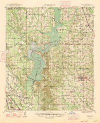
1947 Map of Ringgold
USGS Topo · Published 1947About this map
Lake Bistineau dominates this 1940s landscape, flanked by the winding courses of Red Chute Bayou and Bayou Dorcheat. The recently constructed Lake Bistineau Dam highlights a period of significant hydrological management in the region, while the Bistineau Gasoline Plant and a Gas Pumping Sta near Koran point to the growing mid-century petroleum industry. Local life is anchored in the town of Ringgold, where several institutions like St Lukes Sch and Ringgold Sch served the community.
Find a feature on this map
111 named features on this map. Tap any name to fly to it.
Don’t see what you’re looking for? This feature index may not catch every label — zoom into the map to look around manually.
Map Details
Editions of this 1947 Ringgold Map
This is the sole edition of this map. No revisions or reprints were ever made.
Other maps of this area
1932 · Bossier SE
USGS Topo · 1:31,680
1938 · Arnsberg
USGS Topo · 1:31,680
1941 · East Point
USGS Topo · 1:31,680
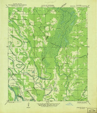
1941 · Bossier Point
USGS Topo · 1:31,680
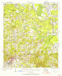
1945 · Mansfield
USGS Topo · 1:62,500
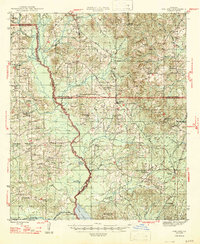
1947 · Ashland
USGS Topo · 1:62,500
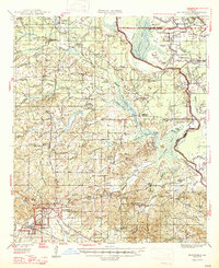
1947 · Mansfield
USGS Topo · 1:62,500
1947 · Minden
USGS Topo · 1:62,500
1948 · Coushatta
USGS Topo · 1:62,500
1948 · Bossier City
USGS Topo · 1:62,500