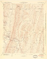
1946 Map of Ringgold
USGS Topo · Published 1947About this map
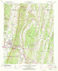
Ringgold serves as the focal point for this mid-century survey, situated along the South Chickamauga Creek and the Nashville Chattanooga and St Louis railroad line. The landscape is dominated by the linear ridges of White Oak Mountain and Cherokee Ridge, which funnel transportation and settlement patterns into the intervening Cherokee Valley. A significant portion of the central terrain is occupied by a U S Military Reservation containing the Catoosa Target Range, reflecting the area's strategic importance during the post-war era.
Find a feature on this map
51 named features on this map. Tap any name to fly to it.
Don’t see what you’re looking for? This feature index may not catch every label — zoom into the map to look around manually.
Map Details
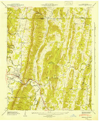
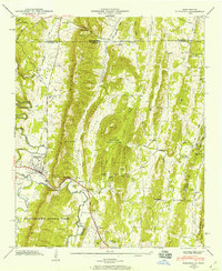
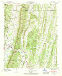
Editions of this 1946 Ringgold Map
5 editions found
Other maps of this area

1886 · Dalton
USGS Topo · 1:125,000

1886 · Cleveland
USGS Topo · 1:125,000

1886 · Ringgold
USGS Topo · 1:125,000

1888 · Chattanooga
USGS Topo · 1:125,000

1892 · Ringgold
USGS Topo · 1:125,000

1892 · Cleveland
USGS Topo · 1:125,000

1892 · Dalton
USGS Topo · 1:125,000

1893 · Chattanooga
USGS Topo · 1:125,000

1895 · Cleveland
USGS Topo · 1:125,000

1897 · Dalton
USGS Topo · 1:125,000