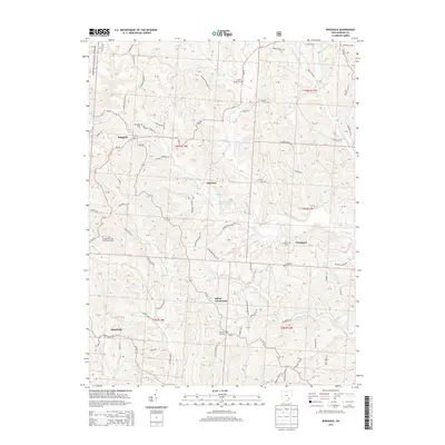
2013 Map of Ringgold
USGS Topo · Published 2013About this map
Wayne National Forest land reaches into the northwest corner of this terrain, where the headwaters of E Br Sunday Cr begin their descent. The landscape is defined by the complex drainage systems of W Br Wolf Cr and its many tributaries, including Bear Run, Chaneyville Run, and Goshen Cr. Small settlements such as Ringgold, Rosseau, and Westland are connected by a network of winding township roads and state routes like Oh-555 and Oh-78.
Find a feature on this map
91 named features on this map. Tap any name to fly to it.
Don’t see what you’re looking for? This feature index may not catch every label — zoom into the map to look around manually.
Map Details
Editions of this 2013 Ringgold Map
This is the sole edition of this map. No revisions or reprints were ever made.
Other maps of this area

1903 · Athens
USGS Topo · 1:62,500

1904 · Chesterhill
USGS Topo · 1:62,500

1905 · Athens
USGS Topo · 1:62,500

1906 · Chesterhill
USGS Topo · 1:62,500

1910 · Mc Connelsville
USGS Topo · 1:62,500

1911 · New Lexington
USGS Topo · 1:62,500

1947 · Columbus
USGS Topo · 1:250,000

1949 · Clarksburg
USGS Topo · 1:250,000

1956 · Clarksburg
USGS Topo · 1:250,000

1960 · Amesville
USGS Topo · 1:24,000