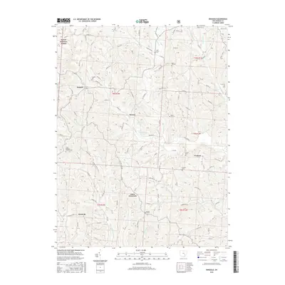
2016 Map of Ringgold
USGS Topo · Published 2016About this map
Wayne National Forest land defines the northwest corner of this region, where the terrain breaks into the winding drainages of Sharps Fork Federal Cr and Wolf Cr. The settlement pattern is characterized by small, dispersed communities including Ringgold, Rosseau, and Elliott Crossroads, connected by a network of township and county roads that follow the ridges and hollows.
Find a feature on this map
151 named features on this map. Tap any name to fly to it.
Don’t see what you’re looking for? This feature index may not catch every label — zoom into the map to look around manually.
Map Details
Editions of this 2016 Ringgold Map
This is the sole edition of this map. No revisions or reprints were ever made.
Other maps of this area

1903 · Athens
USGS Topo · 1:62,500

1904 · Chesterhill
USGS Topo · 1:62,500

1905 · Athens
USGS Topo · 1:62,500

1906 · Chesterhill
USGS Topo · 1:62,500

1910 · Mc Connelsville
USGS Topo · 1:62,500

1911 · New Lexington
USGS Topo · 1:62,500

1947 · Columbus
USGS Topo · 1:250,000

1949 · Clarksburg
USGS Topo · 1:250,000

1956 · Clarksburg
USGS Topo · 1:250,000

1960 · Amesville
USGS Topo · 1:24,000