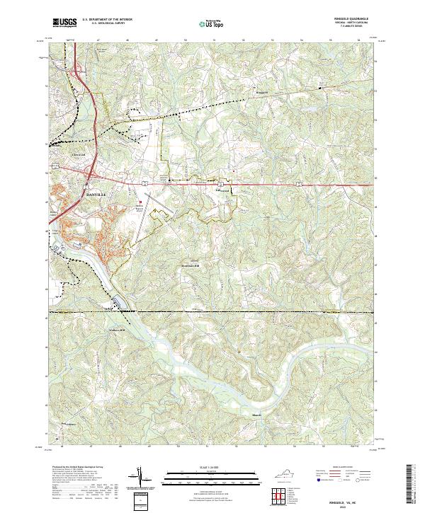
2022 Map of Ringgold
USGS Topo · Published 2022About this map
The Danville city limits and its regional transport hub dominate this landscape along the Virginia and North Carolina border. The Danville Regional Airport and the expanding residential corridors of Glenwood and Lakewood reflect the modern footprint of the area, while the older settlement patterns remain visible in places like Ringgold and Mountain Hill. The landscape is deeply tied to its hydrology, with the Dan River winding through the southern portion of the map, fed by numerous tributaries such as Hances Br and Moon Cr.
Find a feature on this map
77 named features on this map. Tap any name to fly to it.
Don’t see what you’re looking for? This feature index may not catch every label — zoom into the map to look around manually.
Map Details
Editions of this 2022 Ringgold Map
This is the sole edition of this map. No revisions or reprints were ever made.
Other maps of this area

1923 · Danville
USGS Topo · 1:48,000

1925 · Danville
USGS Topo · 1:62,500

1952 · Milton
USGS Topo · 1:62,500

1953 · Greensboro
USGS Topo · 1:250,000

1954 · Greensboro
USGS Topo · 1:250,000

1956 · Milton
USGS Topo · 1:62,500

1962 · Greensboro
USGS Topo · 1:250,000

1964 · Mount Hermon
USGS Topo · 1:24,000
1964 · Blairs
USGS Topo · 1:24,000

1965 · Danville
USGS Topo · 1:24,000