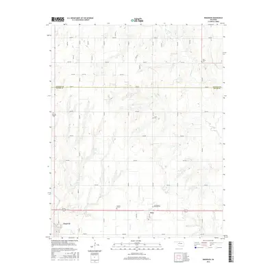
2016 Map of Ringwood
USGS Topo · Published 2016About this map
Ringwood and Meno anchor this landscape along the border of Alfalfa and Major Counties, defined by a network of rural roads and seasonal watercourses. The area's settlement history is etched into the land through its numerous small burial grounds, including the New Hopedale Mennonite Cem and Saint Michael Cem, which reflect the community's heritage. The terrain is marked by the drainages of Turkey Cr and Hoyle Cr, which cut through the agricultural sections. A notable natural feature is Koehn Lake, situated north of the main thoroughfares. This survey captures the rural infrastructure of the region, from the residential blocks of Ringwood at the intersection of Main St and 4th St to the outlying sections connected by routes like Lease Rd.
Find a feature on this map
45 named features on this map. Tap any name to fly to it.
Don’t see what you’re looking for? This feature index may not catch every label — zoom into the map to look around manually.
Map Details
Editions of this 2016 Ringwood Map
This is the sole edition of this map. No revisions or reprints were ever made.
Other maps of this area

1955 · Woodward
USGS Topo · 1:250,000

1956 · Ringwood
USGS Topo · 1:62,500

1958 · Woodward
USGS Topo · 1:250,000

1969 · Goltry
USGS Topo · 1:24,000

1969 · Fairview NE
USGS Topo · 1:24,000

1969 · Helena
USGS Topo · 1:24,000

1969 · Fairview SE
USGS Topo · 1:24,000

1969 · Jet SE
USGS Topo · 1:24,000
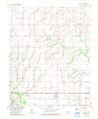
1982 · Ringwood
USGS Topo · 1:24,000
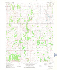
1982 · Ringwood SW
USGS Topo · 1:24,000