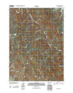
2011 Map of Rio Canyon
USGS Topo · Published 2011About this map
Rio Canyon and the high ridges of Jackson County define this drainage landscape, where a sophisticated network of small-scale water management features supports the local terrain. The map identifies several specialized catchments including Brockway Reservoir, Pierce Reservoir, and Wertz Reservoirs, alongside named water sources like Rushing Spring. These water features are essential markers for understanding the historical land use and agriculture of the region.
Find a feature on this map
34 named features on this map. Tap any name to fly to it.
Don’t see what you’re looking for? This feature index may not catch every label — zoom into the map to look around manually.
Map Details
Editions of this 2011 Rio Canyon Map
This is the sole edition of this map. No revisions or reprints were ever made.
Other maps of this area

1891 · Ashland
USGS Topo · 1:250,000

1893 · Ashland
USGS Topo · 1:250,000

1897 · Ashland
USGS Topo · 1:250,000

1938 · Medford
USGS Topo · 1:125,000

1954 · Medford
USGS Topo · 1:62,500

1954 · Lakecreek
USGS Topo · 1:62,500

1954 · Talent
USGS Topo · 1:62,500

1954 · Ashland
USGS Topo · 1:62,500

1955 · Medford
USGS Topo · 1:250,000

1957 · Medford
USGS Topo · 1:250,000