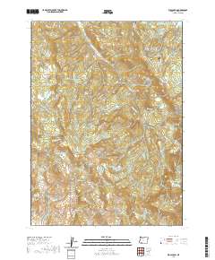
2020 Map of Rio Canyon
USGS Topo · Published 2020About this map
Rio Canyon and the surrounding drainages of Jackson County are defined by a complex network of seasonal creeks and high-elevation water storage facilities. This 2020 survey illustrates a landscape primarily shaped by irrigation and ranching needs, evidenced by several small-scale water projects such as Nygren Reservoir, Pierce Reservoir, and Bradshaw Reservoir Number Two. Significant topographical landmarks such as Chimney Rock, Taowhywee Point, and the peak known simply as Baldy rise above the deep cuts of Burnt Canyon and Rheinhardt Gulch. The transportation network is a mix of forest access routes like the Ashland-Climax Rd and E Antelope Rd, alongside more residential developments including Wren Ridge Dr and Rainbow Ln near the northern boundary.
Find a feature on this map
36 named features on this map. Tap any name to fly to it.
Don’t see what you’re looking for? This feature index may not catch every label — zoom into the map to look around manually.
Map Details
Editions of this 2020 Rio Canyon Map
This is the sole edition of this map. No revisions or reprints were ever made.
Other maps of this area

1891 · Ashland
USGS Topo · 1:250,000

1893 · Ashland
USGS Topo · 1:250,000

1897 · Ashland
USGS Topo · 1:250,000

1938 · Medford
USGS Topo · 1:125,000

1954 · Medford
USGS Topo · 1:62,500

1954 · Lakecreek
USGS Topo · 1:62,500

1954 · Talent
USGS Topo · 1:62,500

1954 · Ashland
USGS Topo · 1:62,500

1955 · Medford
USGS Topo · 1:250,000

1957 · Medford
USGS Topo · 1:250,000