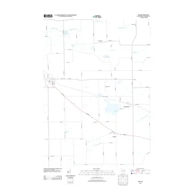
2013 Map of Rio
USGS Topo · Published 2013About this map
The village of Rio serves as the primary hub in this Columbia County landscape, where the local road network and State Road 16 converge among productive agricultural lands. The terrain is defined by its diverse water features, including the Willow Mill Pond and Silver Springs Pond in the north, and the meandering N Br Crawfish River to the southeast. Small settlements like Doylestown and Otsego anchor the eastern portions of the map, connected by long straight roads such as Co Hwy-B.
Find a feature on this map
60 named features on this map. Tap any name to fly to it.
Don’t see what you’re looking for? This feature index may not catch every label — zoom into the map to look around manually.
Map Details
Editions of this 2013 Rio Map
This is the sole edition of this map. No revisions or reprints were ever made.
Other maps of this area

1901 · Poynette
USGS Topo · 1:62,500

1902 · Portage
USGS Topo · 1:62,500

1955 · Randolph
USGS Topo · 1:62,500

1955 · Columbus
USGS Topo · 1:62,500

1957 · Madison
USGS Topo · 1:250,000

1960 · Madison
USGS Topo · 1:250,000

1962 · Poynette
USGS Topo · 1:62,500

1962 · Portage
USGS Topo · 1:62,500
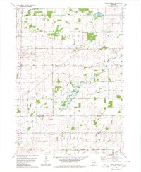
1980 · North Bristol
USGS Topo · 1:24,000
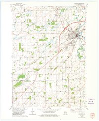
1980 · Columbus
USGS Topo · 1:24,000