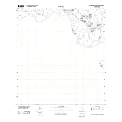
2010 Map of Rio Grande City South
USGS Topo · Published 2010About this map
The Rio Grande serves as the international boundary between the United States of America and Estados Unidos Mexicanos in this 2010 survey of South Texas. The river’s meanders define the landscape, leaving behind historically complex land divisions such as Casa Banco Number 90 and Los Adjuntas Banco Number 91. The area south of Rio Grande City is characterized by a dense network of colonias and established settlements, indicating significant local growth and residential development near the border.
Find a feature on this map
36 named features on this map. Tap any name to fly to it.
Don’t see what you’re looking for? This feature index may not catch every label — zoom into the map to look around manually.
Map Details
Editions of this 2010 Rio Grande City South Map
This is the sole edition of this map. No revisions or reprints were ever made.
Other maps of this area

1949 · Mc Allen
USGS Topo · 1:250,000

1954 · McAllen
USGS Topo · 1:250,000

1956 · Garcias
USGS Topo · 1:62,500

1956 · Los Ebanos
USGS Topo · 1:62,500

1956 · Escobares
USGS Topo · 1:62,500

1957 · Mc Allen
USGS Topo · 1:250,000

1962 · McAllen
USGS Topo · 1:250,000

1965 · Rio Grande City South
USGS Topo · 1:24,000

1965 · Los Garzas
USGS Topo · 1:24,000

1965 · La Grulla
USGS Topo · 1:24,000