
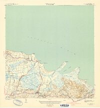
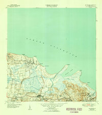
1941 Map of Rio Grande
USGS Topo · Published 1941This historical map portrays the area of Rio Grande in 1941, primarily covering Río Grande Municipio as well as portions of Canóvanas Municipio, Luquillo Municipio, and Loíza Municipio. Featuring a scale of 1:30000, this map provides a highly detailed snapshot of the terrain, roads, buildings, counties, and historical landmarks in the Rio Grande region at the time. Published in 1941, it is one of 2 known editions of this map due to revisions or reprints.
Find a feature on this map
42 named features on this map. Tap any name to fly to it.
Don’t see what you’re looking for? This feature index may not catch every label — zoom into the map to look around manually.
Map Details
Editions of this 1941 Rio Grande Map
2 editions found
Historical Maps of Río Grande Through Time
14 maps found
1941 Rio Grande
Río Grande Municipio, PR

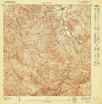
1945 El Yunque
Río Grande Municipio, PR

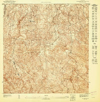
1946 El Yunque
Río Grande Municipio, PR
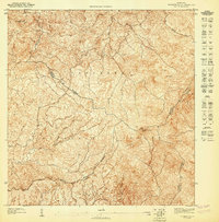
1947 El Yunque NE
Río Grande Municipio, PR
1947 El Yunque NO
Río Grande Municipio, PR
1947 El Yunque SO
Río Grande Municipio, PR
1947 Rio Grande
Río Grande Municipio, PR

1949 Rio Grande SO
Río Grande Municipio, PR

1950 Rio Grande SE
Río Grande Municipio, PR

1952 El Yunque
Río Grande Municipio, PR

1956 Rio Grande
Río Grande Municipio, PR

1958 El Yunque
Río Grande Municipio, PR
1963 Rio Grande
Río Grande Municipio, PR
1967 El Yunque
Río Grande Municipio, PR