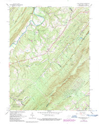
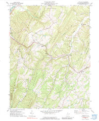
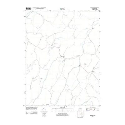
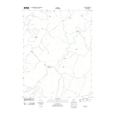
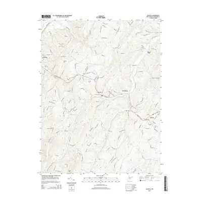
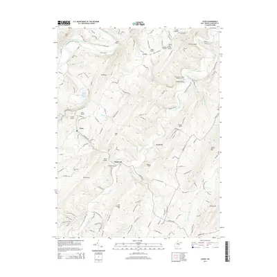
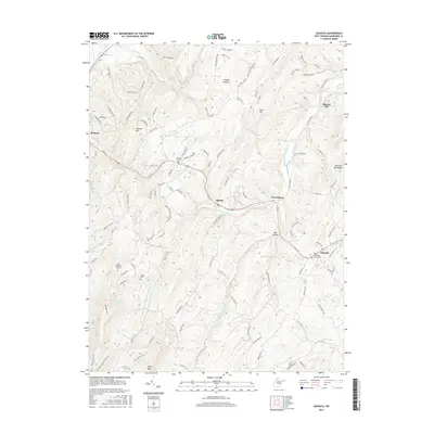
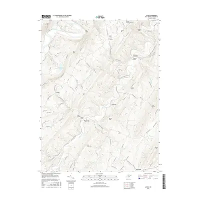
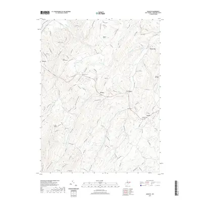
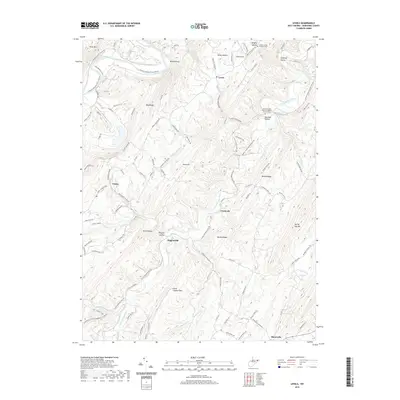
1970 Map of Rio
USGS Topo · Published 1970About this map
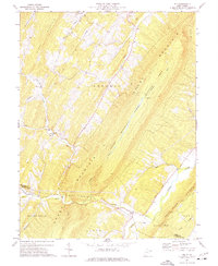
The North River cuts through the ridges of the Appalachian Highlands in this 1970 survey, anchoring the small community of Rio at the southern edge of the map. This landscape is defined by the parallel elevations of Short Mountain, Stony Mountain, and Hunting Ridge, which dictate the placement of roads and early settlements. The presence of the Sherman Public Hunting Area along the central ridge highlights the transition toward conservation and public land management in West Virginia during this era.
Find a feature on this map
38 named features on this map. Tap any name to fly to it.
Don’t see what you’re looking for? This feature index may not catch every label — zoom into the map to look around manually.
Map Details
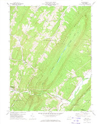
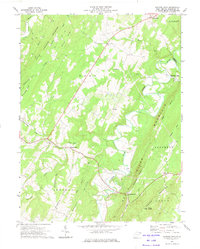
Editions of this 1970 Rio Map
2 editions found
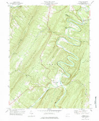
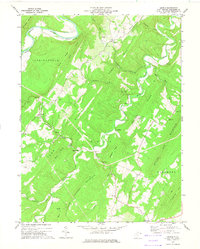
Historical Maps of Ruckman Through Time
51 maps found
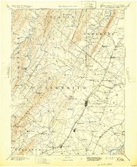
1894 Winchester
Hampshire County, WV
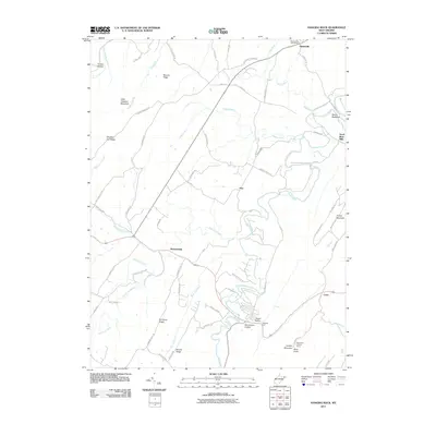
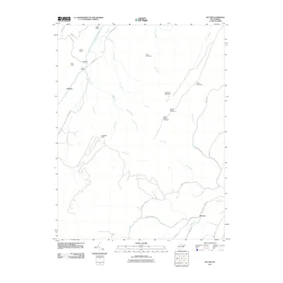
1921 Hanging Rock
Hampshire County, WV
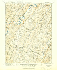
1923 Hanging Rock
Hampshire County, WV
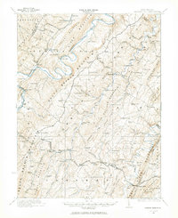
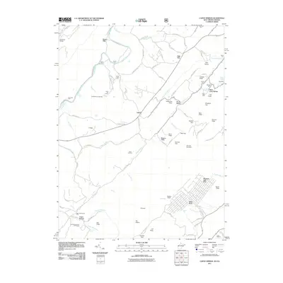
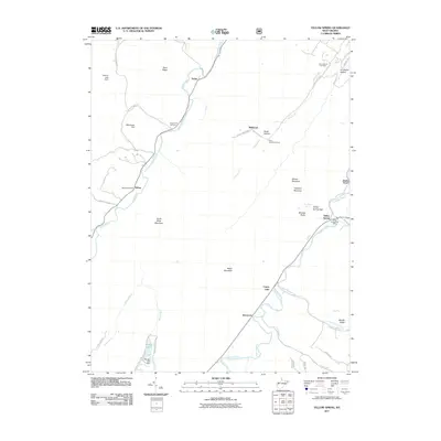
1965 Capon Springs
Hampshire County, WV
1970 Rio
Hampshire County, WV
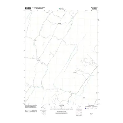
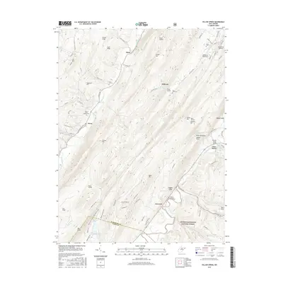
1970 Yellow Spring
Hampshire County, WV
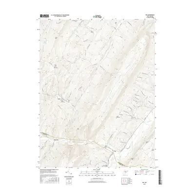
1971 Sector
Hampshire County, WV
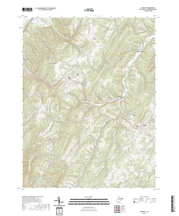
1973 Augusta
Hampshire County, WV
1973 Hanging Rock
Hampshire County, WV
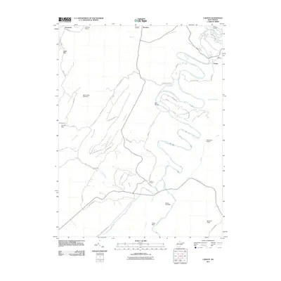
1973 Largent
Hampshire County, WV
1973 Levels
Hampshire County, WV
2011 Augusta
Hampshire County, WV
2011 Capon Springs
Hampshire County, WV
2011 Hanging Rock
Hampshire County, WV
2011 Largent
Hampshire County, WV
2011 Levels
Hampshire County, WV
2011 Rio
Hampshire County, WV
2011 Sector
Hampshire County, WV
2011 Yellow Spring
Hampshire County, WV
2014 Augusta
Hampshire County, WV
2014 Capon Springs
Hampshire County, WV
2014 Hanging Rock
Hampshire County, WV
2014 Largent
Hampshire County, WV
2014 Levels
Hampshire County, WV
2014 Rio
Hampshire County, WV
2014 Sector
Hampshire County, WV
2014 Yellow Spring
Hampshire County, WV
2016 Augusta
Hampshire County, WV
2016 Capon Springs
Hampshire County, WV
2016 Hanging Rock
Hampshire County, WV
2016 Largent
Hampshire County, WV
2016 Levels
Hampshire County, WV
2016 Rio
Hampshire County, WV
2016 Sector
Hampshire County, WV
2016 Yellow Spring
Hampshire County, WV
2019 Augusta
Hampshire County, WV
2019 Capon Springs
Hampshire County, WV
2019 Hanging Rock
Hampshire County, WV
2019 Largent
Hampshire County, WV
2019 Levels
Hampshire County, WV
2019 Rio
Hampshire County, WV
2019 Sector
Hampshire County, WV
2019 Yellow Spring
Hampshire County, WV
2023 Augusta
Hampshire County, WV
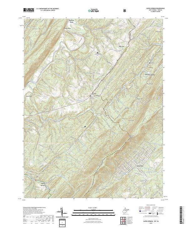
2023 Capon Springs
Hampshire County, WV
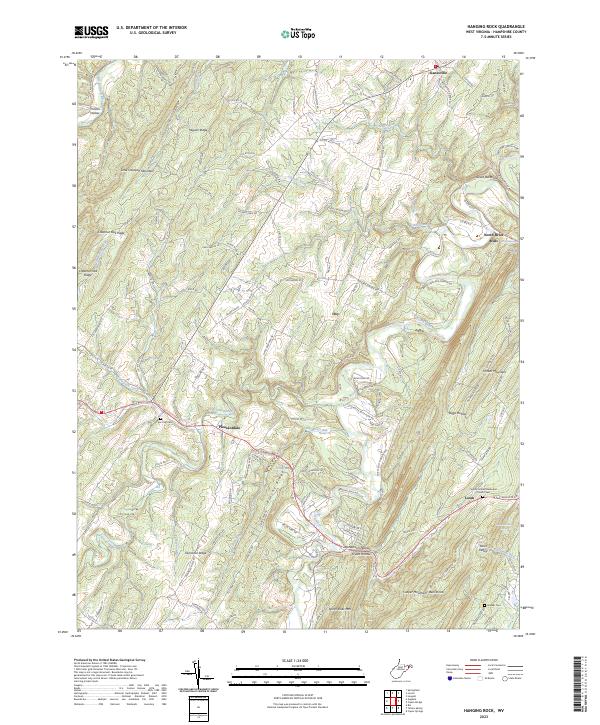
2023 Hanging Rock
Hampshire County, WV
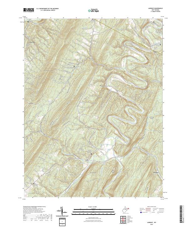
2023 Largent
Hampshire County, WV
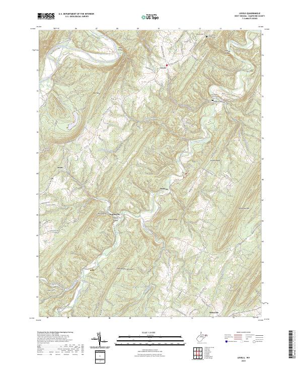
2023 Levels
Hampshire County, WV
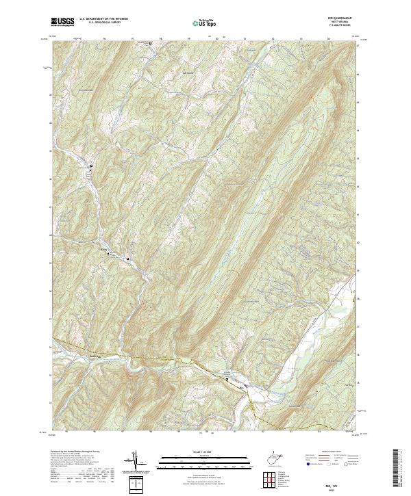
2023 Rio
Hampshire County, WV
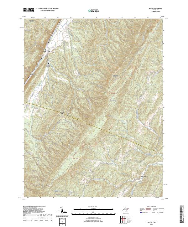
2023 Sector
Hampshire County, WV
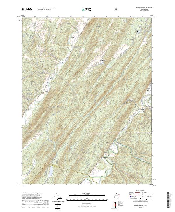
2023 Yellow Spring
Hampshire County, WV