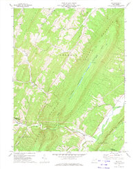
1970 Map of Rio
USGS Topo · Published 1974About this map
Rio sits at the confluence of the North River and Sperry Run, serving as a central point for this 1970 survey of the Hampshire Co and Hardy Co border. The landscape is defined by the massive parallel ridges of Stony Mountain, Sherman Mountain, and Short Mountain, the latter of which contains the designated Short Mountain Public Hunting Area. Small rural communities and church-centered settlements are scattered through the valleys, including Kirby and Mountaindale.
Find a feature on this map
36 named features on this map. Tap any name to fly to it.
Don’t see what you’re looking for? This feature index may not catch every label — zoom into the map to look around manually.
Map Details
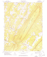
Editions of this 1970 Rio Map
2 editions found
Other maps of this area

1891 · Romney
USGS Topo · 1:125,000

1920 · Moorefield
USGS Topo · 1:62,500

1920 · Keyser
USGS Topo · 1:62,500

1921 · Keyser
USGS Topo · 1:48,000

1921 · Hanging Rock
USGS Topo · 1:48,000

1921 · Moorefield
USGS Topo · 1:48,000

1922 · Moorefield
USGS Topo · 1:62,500

1922 · Wardensville
USGS Topo · 1:62,500

1922 · Keyser
USGS Topo · 1:62,500

1923 · Hanging Rock
USGS Topo · 1:62,500