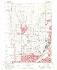
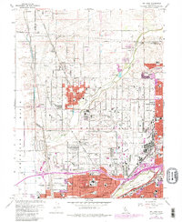
1967 Map of Rio Linda
USGS Topo · Published 1968About this map
The agricultural and suburban landscape of northern Sacramento County is defined by the heavy presence of McClellan Air Force Base and the Sacramento Northern railroad. The residential blocks of Rio Linda and North Highlands show significant mid-century expansion, while the surrounding areas maintain a rural character with landmarks like the Rio Linda Airport and Gibson Ranch County Park. Education is a central theme of this 1960s landscape, with numerous campuses such as Rio Linda High Sch and Grant Union High Sch serving the growing population.
Find a feature on this map
88 named features on this map. Tap any name to fly to it.
Don’t see what you’re looking for? This feature index may not catch every label — zoom into the map to look around manually.
Map Details
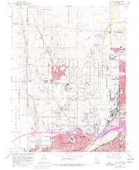
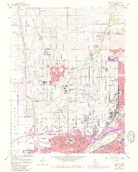
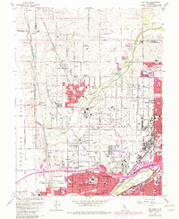
Editions of this 1967 Rio Linda Map
5 editions found
Other maps of this area

1891 · Sacramento
USGS Topo · 1:125,000

1892 · Sacramento
USGS Topo · 1:125,000

1893 · Sacramento
USGS Topo · 1:125,000

1902 · Fairoaks
USGS Topo · 1:62,500

1907 · Davisville
USGS Topo · 1:62,500

1910 · Roseville
USGS Topo · 1:31,680

1910 · Vernon
USGS Topo · 1:31,680

1910 · Pleasant Grove
USGS Topo · 1:31,680

1911 · Brighton
USGS Topo · 1:31,680

1911 · Mills
USGS Topo · 1:31,680