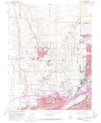
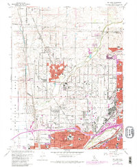
1967 Map of Rio Linda
USGS Topo · Published 1976About this map
The suburban expansion of northern Sacramento is caught in transition on this survey, where the burgeoning residential tracts of North Highlands and Del Paso Heights meet the agricultural lands of the American Basin. Small established communities like Rio Linda and Elverta provide the foundation for the area's growth, while the presence of several rail corridors and the meandering path of Dry Creek organize the landscape.
Find a feature on this map
14 named features on this map. Tap any name to fly to it.
Don’t see what you’re looking for? This feature index may not catch every label — zoom into the map to look around manually.
Map Details
Editions of this 1967 Rio Linda Map
5 editions found
Other maps of this area

1891 · Sacramento
USGS Topo · 1:125,000

1892 · Sacramento
USGS Topo · 1:125,000

1893 · Sacramento
USGS Topo · 1:125,000

1902 · Fairoaks
USGS Topo · 1:62,500

1907 · Davisville
USGS Topo · 1:62,500

1910 · Roseville
USGS Topo · 1:31,680

1910 · Vernon
USGS Topo · 1:31,680

1910 · Pleasant Grove
USGS Topo · 1:31,680

1911 · Brighton
USGS Topo · 1:31,680

1911 · Mills
USGS Topo · 1:31,680