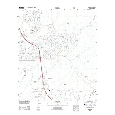
2012 Map of Rio Rico
USGS Topo · Published 2012About this map
Pete Kitchens Ranch and Guevavi Ranch occupy the lowlands of the Santa Cruz River valley, illustrating the enduring agricultural and ranching legacy of this borderland region. The terrain is defined by a series of drainages, including Sonoita Cr and Nogales Wash, which cut through a landscape of named canyons like Calabasas Canyon and Fresno Canyon. Significant modern infrastructure is visible at the Rio Rico Calabasas Interchange, where Interstate 19 facilitates transport through the developing community of Rio Rico.
Find a feature on this map
173 named features on this map. Tap any name to fly to it.
Don’t see what you’re looking for? This feature index may not catch every label — zoom into the map to look around manually.
Map Details
Editions of this 2012 Rio Rico Map
This is the sole edition of this map. No revisions or reprints were ever made.
Other maps of this area

1904 · Patagonia
USGS Topo · 1:125,000

1905 · Patagonia
USGS Topo · 1:125,000

1905 · Nogales
USGS Topo · 1:125,000

1920 · Arivaca
USGS Topo · 1:125,000

1921 · Old Glory
USGS Topo · 1:125,000

1922 · Agus Caliente
USGS Topo · 1:62,500

1933 · Calabasas
USGS Topo · 1:62,500

1939 · Tubac
USGS Topo · 1:62,500

1942 · Ruby
USGS Topo · 1:62,500

1943 · Old Glory
USGS Topo · 1:125,000