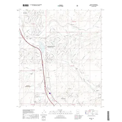
2018 Map of Rio Rico
USGS Topo · Published 2018About this map
The Santa Cruz River corridor serves as the primary artery for settlement and transit between Rio Rico and Nogales in this 2018 survey of Santa Cruz County. Much of the northern terrain is occupied by the Tumacacori National Historical Park, while the southwestern quadrant includes a portion of the Coronado National Forest. This modern mapping reflects the dense residential developments of Rio Rico contrasted with the deep canyons and peaks that define the Arizona-Mexico border region. Researchers can trace the varied topography from Mt Benedict and Cuates-Butte down into Fresno Canyon and Pesqueira Canyon. The map details the transition from rural ranch lands, indicated by features like Cowhead Tank, to the established neighborhoods surrounding Calabasas and the upper reaches of Nogales.
Find a feature on this map
60 named features on this map. Tap any name to fly to it.
Don’t see what you’re looking for? This feature index may not catch every label — zoom into the map to look around manually.
Map Details
Editions of this 2018 Rio Rico Map
This is the sole edition of this map. No revisions or reprints were ever made.
Other maps of this area

1904 · Patagonia
USGS Topo · 1:125,000

1905 · Patagonia
USGS Topo · 1:125,000

1905 · Nogales
USGS Topo · 1:125,000

1920 · Arivaca
USGS Topo · 1:125,000

1921 · Old Glory
USGS Topo · 1:125,000

1922 · Agus Caliente
USGS Topo · 1:62,500

1933 · Calabasas
USGS Topo · 1:62,500

1939 · Tubac
USGS Topo · 1:62,500

1942 · Ruby
USGS Topo · 1:62,500

1943 · Old Glory
USGS Topo · 1:125,000