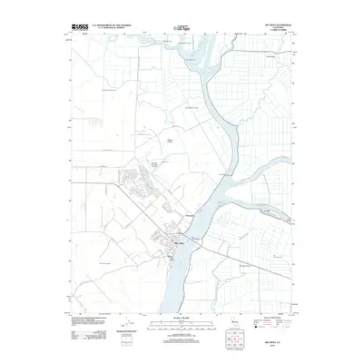
2012 Map of Rio Vista
USGS Topo · Published 2012About this map
The Sacramento River dominates this landscape, serving as the primary artery for the delta region near Rio Vista. The map documents a complex network of waterways, including the Sacramento River Deep Water Ship Channel, Cache Slough, and Steamboat Slough, which define a series of productive islands like Ryer Island and Brannan Island. The town of Rio Vista is the central hub, connected to the eastern banks by the Rio Vista Bridge and supported by local aviation at the Rio Vista Municipal Airport.
Find a feature on this map
63 named features on this map. Tap any name to fly to it.
Don’t see what you’re looking for? This feature index may not catch every label — zoom into the map to look around manually.
Map Details
Editions of this 2012 Rio Vista Map
This is the sole edition of this map. No revisions or reprints were ever made.
Other maps of this area

1907 · Antioch
USGS Topo · 1:62,500

1908 · Vacaville
USGS Topo · 1:62,500

1908 · Courtland
USGS Topo · 1:62,500

1908 · Antioch
USGS Topo · 1:62,500

1910 · Rio Vista
USGS Topo · 1:31,680

1910 · Bouldin
USGS Topo · 1:31,680

1910 · Jersey
USGS Topo · 1:31,680

1910 · Isleton
USGS Topo · 1:31,680

1916 · Cache Slough
USGS Topo · 1:31,680

1916 · Vorden
USGS Topo · 1:31,680