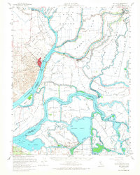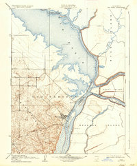
1910 Map of Rio Vista
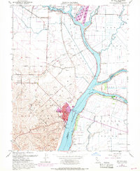
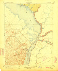
USGS Topo · Published 1936About this map
Rio Vista serves as the focal point of this Sacramento River delta survey, situated where the river meets the vast lowlands of the Yolo Basin. The topography reveals a striking contrast between the elevated, contour-rich Montezuma Hills to the west and the intricate maze of sloughs and reclaimed lands to the east. This early 20th-century landscape is defined by its waterborne geography, featuring a complex network of channels including Cache Slough, Steamboat Slough, and Lindsey Slough that carve out major landmasses like Ryer Island and Grand Island.
Find a feature on this map
21 named features on this map. Tap any name to fly to it.
Don’t see what you’re looking for? This feature index may not catch every label — zoom into the map to look around manually.
Map Details
Editions of this 1910 Rio Vista Map
2 editions found
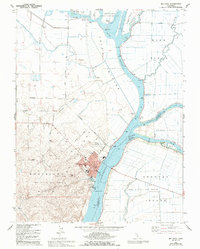
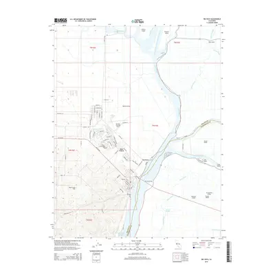
Historical Maps of Rio Vista Through Time
8 maps found