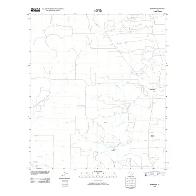
2010 Map of Riomedina
USGS Topo · Published 2010About this map
Riomedina sits as the primary settlement in this corner of Medina County, where the landscape is defined by the winding course of the Medina River and its numerous tributaries. By the early 21st century, the area shows a distinct transition from traditional agricultural land to more specialized uses, evidenced by the presence of the Weiblen Airport and a network of county roads like Co Rd 361 and FM 2676. The importance of water management in this Texas landscape is highlighted by the Medina Irrigation Canal and several water features such as Gabe Lake and Jones Lake Dam.
Find a feature on this map
41 named features on this map. Tap any name to fly to it.
Don’t see what you’re looking for? This feature index may not catch every label — zoom into the map to look around manually.
Map Details
Editions of this 2010 Riomedina Map
This is the sole edition of this map. No revisions or reprints were ever made.
Other maps of this area

1954 · San Antonio
USGS Topo · 1:250,000

1956 · New Fountain
USGS Topo · 1:62,500

1956 · Bandera
USGS Topo · 1:62,500

1956 · Medina Lake
USGS Topo · 1:62,500

1957 · San Antonio
USGS Topo · 1:250,000

1958 · La Coste
USGS Topo · 1:24,000

1958 · La Coste NE
USGS Topo · 1:24,000

1964 · Riomedina
USGS Topo · 1:24,000

1964 · Castroville
USGS Topo · 1:24,000

1964 · Timber Creek
USGS Topo · 1:24,000