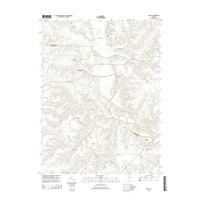
2015 Map of Ripley
USGS Topo · Published 2015About this map
The La Moine River winds through this section of Brown and Schuyler counties, defining a landscape of deeply carved creek valleys and high ground. The village of Ripley sits near the river in the southeastern corner, serving as a focal point for the surrounding rural townships. This 2015 survey is particularly notable for its dense documentation of family burial sites and smaller cemeteries, providing significant value for genealogical research. Sites like the Kinman Burial Ground, Linn-Walker Graves, and Tebo Burial Ground are clearly marked alongside larger plots such as the Ripley Township Cem.
Find a feature on this map
34 named features on this map. Tap any name to fly to it.
Don’t see what you’re looking for? This feature index may not catch every label — zoom into the map to look around manually.
Map Details
Editions of this 2015 Ripley Map
This is the sole edition of this map. No revisions or reprints were ever made.
Other maps of this area

1923 · Rushville
USGS Topo · 1:62,500

1926 · Rushville
USGS Topo · 1:62,500

1926 · Mt Sterling
USGS Topo · 1:62,500

1928 · Meredosia
USGS Topo · 1:62,500

1929 · Mt Sterling
USGS Topo · 1:62,500

1931 · Meredosia
USGS Topo · 1:62,500

1946 · Augusta
USGS Topo · 1:62,500

1948 · Quincy
USGS Topo · 1:250,000

1949 · Augusta
USGS Topo · 1:62,500

1956 · Quincy
USGS Topo · 1:250,000