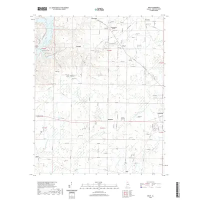
2020 Map of Ripley
USGS Topo · Published 2020About this map
Blackburn and O'Neal anchor this northern Alabama landscape, situated between the intricate wetlands of the Wheeler Reservoir and the western edge of Athens. The area is defined by a dense concentration of family and community burial grounds, such as New Beria Cem, Sunny Hill Cem, and the Limestone Presbyterian Church Cem, which serve as vital landmarks for tracing the region's genealogical history.
Find a feature on this map
94 named features on this map. Tap any name to fly to it.
Don’t see what you’re looking for? This feature index may not catch every label — zoom into the map to look around manually.
Map Details
Editions of this 2020 Ripley Map
This is the sole edition of this map. No revisions or reprints were ever made.
Other maps of this area

1888 · Huntsville
USGS Topo · 1:125,000

1892 · Huntsville
USGS Topo · 1:125,000

1935 · Athens
USGS Topo · 1:24,000

1936 · Union Hill
USGS Topo · 1:24,000

1936 · Stewart Cross Roads
USGS Topo · 1:24,000

1936 · Elkmont
USGS Topo · 1:24,000

1936 · Ripley
USGS Topo · 1:24,000

1936 · Hillsboro
USGS Topo · 1:24,000

1936 · Tanner
USGS Topo · 1:24,000

1936 · Cairo
USGS Topo · 1:24,000