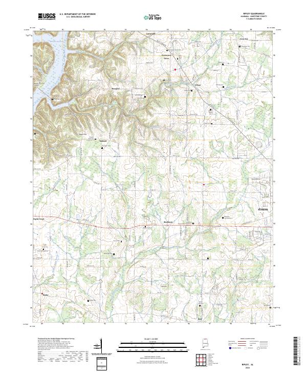
2024 Map of Ripley
USGS Topo · Published 2024About this map
Athens serves as the eastern anchor for this western Limestone County landscape, where the terrain shifts from the edge of the city into a patchwork of rural hamlets and creek bottoms. The area is defined by its deep genealogical roots, evidenced by the high density of small family and community burial grounds such as New Hope Cem, Mount Pisgah Cem, and Sunny Hill Cem. Along the western edge, the influence of the Tennessee River is visible where Wheeler Reservoir reaches into the drainage of Poplar Creek. This document illustrates the persistent settlement patterns of communities like Oakland, Shanghai, and Blackburn, which are linked by a network of established county roads. From the heights of Baker Hill to the banks of Round Island Creek, the map provides a look at the enduring agricultural character of the region just outside the growing urban influence of the county seat.
Find a feature on this map
138 named features on this map. Tap any name to fly to it.
Don’t see what you’re looking for? This feature index may not catch every label — zoom into the map to look around manually.
Map Details
Editions of this 2024 Ripley Map
This is the sole edition of this map. No revisions or reprints were ever made.
Other maps of this area

1888 · Huntsville
USGS Topo · 1:125,000

1892 · Huntsville
USGS Topo · 1:125,000

1935 · Athens
USGS Topo · 1:24,000

1936 · Union Hill
USGS Topo · 1:24,000

1936 · Stewart Cross Roads
USGS Topo · 1:24,000

1936 · Elkmont
USGS Topo · 1:24,000

1936 · Ripley
USGS Topo · 1:24,000

1936 · Hillsboro
USGS Topo · 1:24,000

1936 · Tanner
USGS Topo · 1:24,000

1936 · Cairo
USGS Topo · 1:24,000