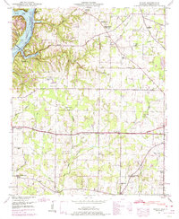
1948 Map of Ripley
USGS Topo · Published 1974About this map
The Wheeler Reservoir landscape of 1948 shows a transition from river valley farming to a managed waterway. This detailed Tennessee Valley Authority mapping records the rural community of Ripley and the surrounding hillsides before significant 20th-century development altered the landscape. Significant for genealogists, the map preserves the locations of numerous family-named landmarks and rural institutions, including Riddle Chapel, New Berea Ch, and Turner Chapel School.
Find a feature on this map
64 named features on this map. Tap any name to fly to it.
Don’t see what you’re looking for? This feature index may not catch every label — zoom into the map to look around manually.
Map Details
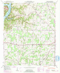
Editions of this 1948 Ripley Map
2 editions found
Other maps of this area

1888 · Huntsville
USGS Topo · 1:125,000

1892 · Huntsville
USGS Topo · 1:125,000

1935 · Athens
USGS Topo · 1:24,000

1936 · Union Hill
USGS Topo · 1:24,000

1936 · Stewart Cross Roads
USGS Topo · 1:24,000

1936 · Elkmont
USGS Topo · 1:24,000

1936 · Ripley
USGS Topo · 1:24,000

1936 · Hillsboro
USGS Topo · 1:24,000

1936 · Tanner
USGS Topo · 1:24,000

1936 · Cairo
USGS Topo · 1:24,000