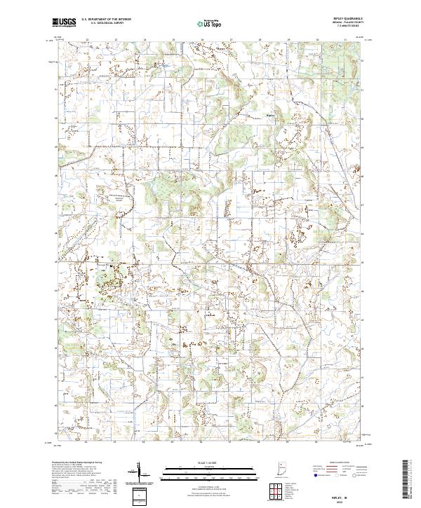
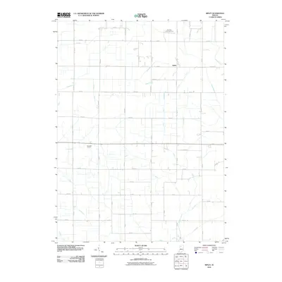
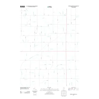
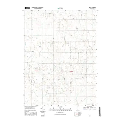
2022 Map of Ripley
USGS Topo · Published 2022About this map
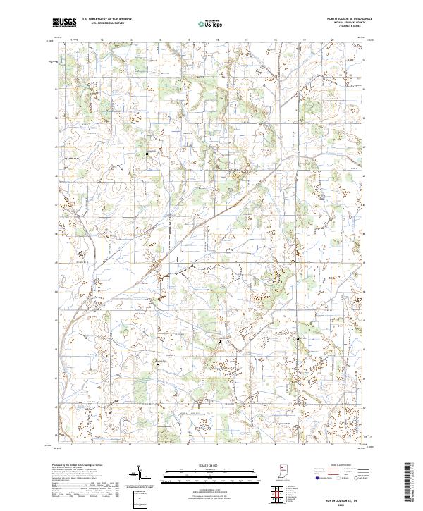
The small settlement of Ripley sits at the junction of Co RD 300 N and Co RD W 300 N, serving as a central point in this agricultural region of Pulaski County. The landscape is defined by an intricate network of drainage systems, including Quigley Marsh Ditch and Dilts-Anstis Ditch, which manage the water levels across the flat terrain. These man-made and improved waterways illustrate the intensive land management required for local farming.
Find a feature on this map
54 named features on this map. Tap any name to fly to it.
Don’t see what you’re looking for? This feature index may not catch every label — zoom into the map to look around manually.
Map Details
Editions of this 2022 Ripley Map
This is the sole edition of this map. No revisions or reprints were ever made.
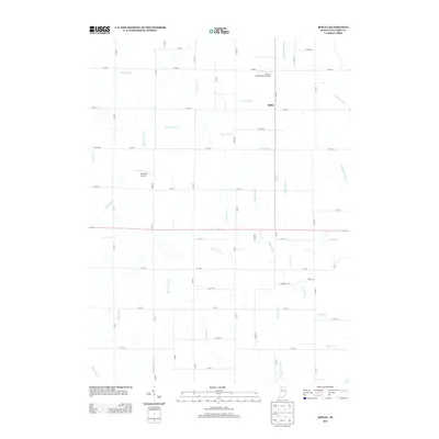
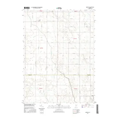
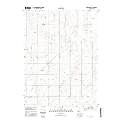
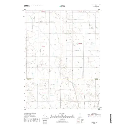
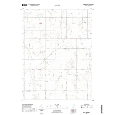
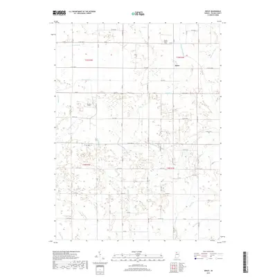
Historical Maps of Ripley Through Time
18 maps found
1962 Monon NE
Pulaski County, IN
1962 North Judson SE
Pulaski County, IN
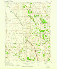
1962 Ripley
Pulaski County, IN
2010 Monon NE
Pulaski County, IN
2010 North Judson SE
Pulaski County, IN
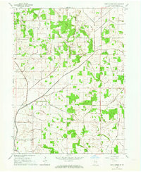
2010 Ripley
Pulaski County, IN
2013 Monon NE
Pulaski County, IN
2013 North Judson SE
Pulaski County, IN
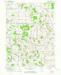
2013 Ripley
Pulaski County, IN
2016 Monon NE
Pulaski County, IN
2016 North Judson SE
Pulaski County, IN
2016 Ripley
Pulaski County, IN
2019 Monon NE
Pulaski County, IN
2019 North Judson SE
Pulaski County, IN
2019 Ripley
Pulaski County, IN

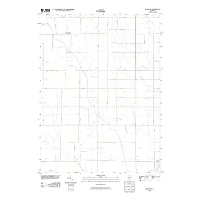
2022 Monon NE
Pulaski County, IN
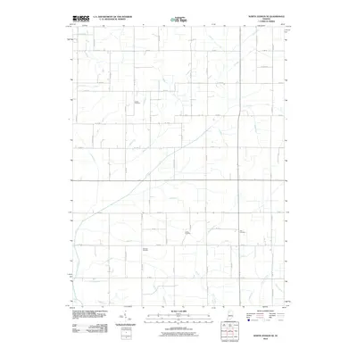
2022 North Judson SE
Pulaski County, IN
2022 Ripley
Pulaski County, IN