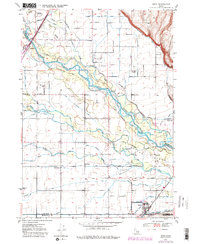
1950 Map of Ririe
USGS Topo · Published 1980About this map
The Snake River dominates this landscape, branching into a complex web of sloughs and an extensive human-engineered irrigation network. Along the river’s path, features like Texas Slough, Bannock Slough, and Lowder Slough illustrate the natural hydraulic complexity of the terrain. This water is diverted into a sprawling system of canals, including the Rigby Canal, Burgess Canal, and Farmers Friend Canal, which supported the agricultural development of eastern Idaho.
Find a feature on this map
43 named features on this map. Tap any name to fly to it.
Don’t see what you’re looking for? This feature index may not catch every label — zoom into the map to look around manually.
Map Details
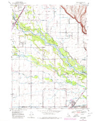
Editions of this 1950 Ririe Map
3 editions found
Other maps of this area

1948 · Rigby
USGS Topo · 1:24,000

1948 · Ucon
USGS Topo · 1:24,000

1949 · Ucon
USGS Topo · 1:24,000

1949 · Rexburg
USGS Topo · 1:24,000

1949 · Rigby
USGS Topo · 1:24,000

1950 · Ririe
USGS Topo · 1:24,000

1950 · Rexburg
USGS Topo · 1:24,000

1950 · Rigby
USGS Topo · 1:62,500

1950 · Rigby SE
USGS Topo · 1:24,000

1951 · Rigby SE
USGS Topo · 1:24,000