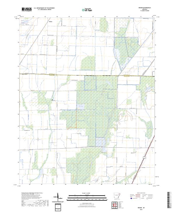
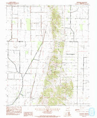
2024 Map of Risher
USGS Topo · Published 2024This historical map portrays the area of Risher in 2024, primarily covering Poinsett County as well as portions of Craighead County. Featuring a scale of 1:24000, this map provides a highly detailed snapshot of the terrain, roads, buildings, counties, and historical landmarks in the Risher region at the time. Published in 2024, it is the sole known edition of this map.
Find a feature on this map
60 named features on this map. Tap any name to fly to it.
Don’t see what you’re looking for? This feature index may not catch every label — zoom into the map to look around manually.
Map Details
Editions of this 2024 Risher Map
This is the sole edition of this map. No revisions or reprints were ever made.
Historical Maps of Risher Through Time
14 maps found
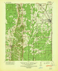
1940 Dee
Poinsett County, AR

1958 Dee
Poinsett County, AR
1980 Otwell
Poinsett County, AR
1980 Powers Slough
Poinsett County, AR
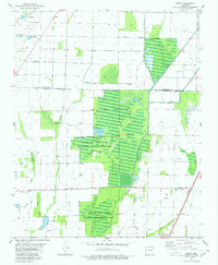
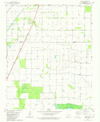
1980 Risher
Poinsett County, AR
1983 Greenfield
Poinsett County, AR
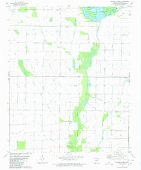
1983 Hatchie Coon
Poinsett County, AR
1983 Mc Cormick
Poinsett County, AR
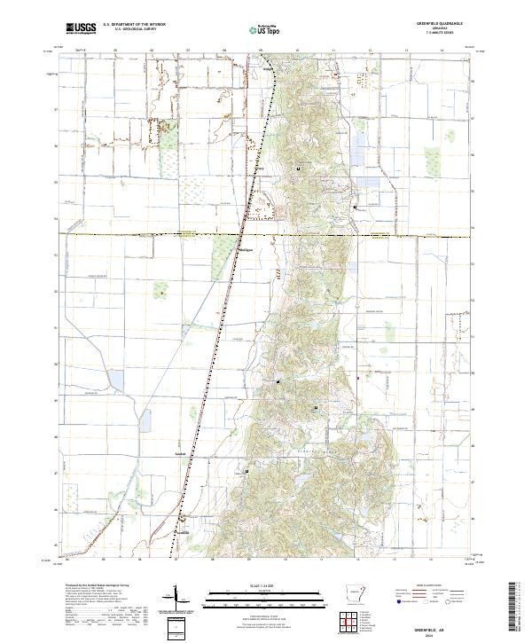
2024 Greenfield
Poinsett County, AR
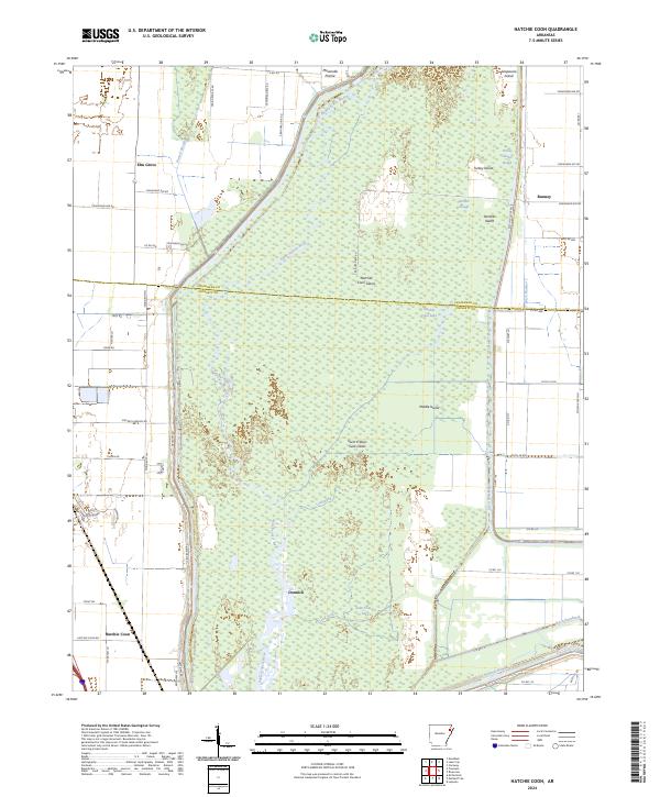
2024 Hatchie Coon
Poinsett County, AR
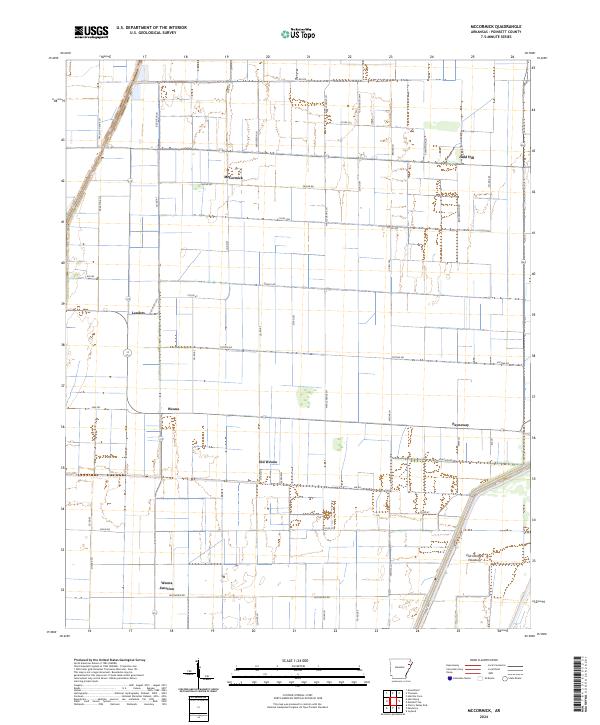
2024 McCormick
Poinsett County, AR
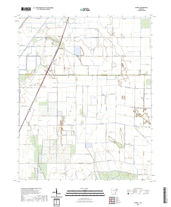
2024 Otwell
Poinsett County, AR
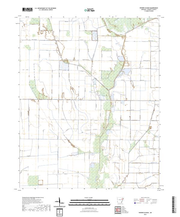
2024 Powers Slough
Poinsett County, AR
2024 Risher
Poinsett County, AR