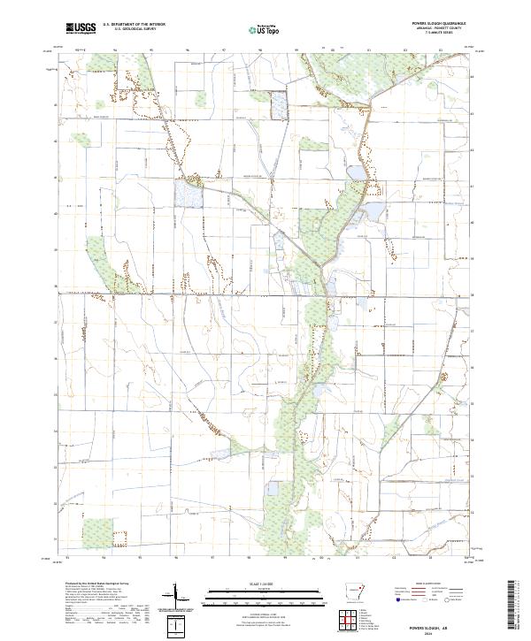
2024 Map of Powers Slough
USGS Topo · Published 2024About this map
The L'Anguille River meanders through this portion of Poinsett County, creating a riparian corridor that dictates the local road and drainage patterns. The landscape is characterized by a network of agricultural thoroughfares and watercourses, including the central Powers Slough and northern Raccoon Bayou. Local transit is facilitated by named routes like Weiner Cutoff Rd and Swan Pond Rd, which connect the dispersed homesteads and farms of the Delta region.
Find a feature on this map
52 named features on this map. Tap any name to fly to it.
Don’t see what you’re looking for? This feature index may not catch every label — zoom into the map to look around manually.
Map Details
Editions of this 2024 Powers Slough Map
This is the sole edition of this map. No revisions or reprints were ever made.
Other maps of this area

1939 · Vanndale
USGS Topo · 1:62,500

1939 · Weiner
USGS Topo · 1:62,500

1940 · Princedale
USGS Topo · 1:62,500

1940 · Dee
USGS Topo · 1:62,500

1953 · Memphis
USGS Topo · 1:250,000

1956 · Memphis
USGS Topo · 1:250,000

1956 · Princedale
USGS Topo · 1:62,500

1958 · Dee
USGS Topo · 1:62,500

1958 · Vanndale
USGS Topo · 1:62,500

1959 · Weiner
USGS Topo · 1:62,500