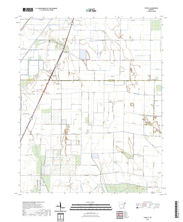
2024 Map of Otwell
USGS Topo · Published 2024About this map
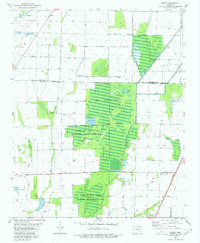
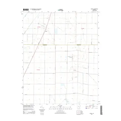
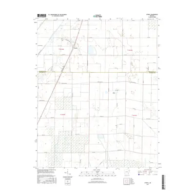
Otwell serves as the central hub of this agricultural region where Craighead and Poinsett Counties meet. The landscape is defined by an extensive network of water management features, including Caney Ditch, Mound Ditch, and Big Creek Lateral Number 1, which drain the low-lying plains to support the local farming economy. These waterways often follow the grid of section lines, reflecting a highly organized approach to rural land use. Cultural landmarks like the Otwell Cem and Keller Airfield suggest a long-standing community with localized infrastructure. The presence of Raccoon Bayou in the southern portion of the quadrangle indicates the natural drainage patterns that existed before the area was extensively transformed by engineering for modern agriculture.
Find a feature on this map
52 named features on this map. Tap any name to fly to it.
Don’t see what you’re looking for? This feature index may not catch every label — zoom into the map to look around manually.
Map Details
Editions of this 2024 Otwell Map
This is the sole edition of this map. No revisions or reprints were ever made.
Historical Maps of Otwell Through Time
38 maps found
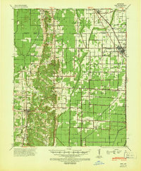
1940 Dee
Poinsett County, AR

1958 Dee
Poinsett County, AR
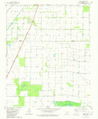
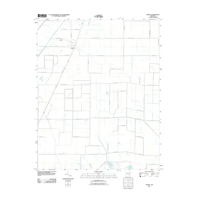
1980 Otwell
Poinsett County, AR
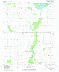
1980 Powers Slough
Poinsett County, AR
1980 Risher
Poinsett County, AR
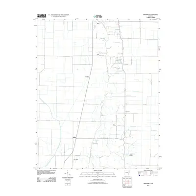
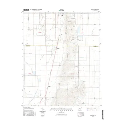
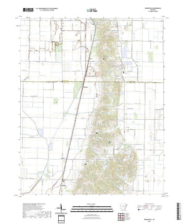
1983 Greenfield
Poinsett County, AR
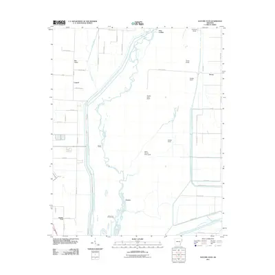
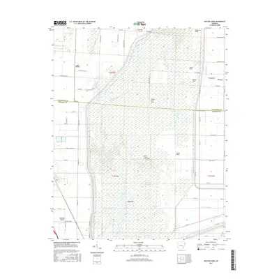
1983 Hatchie Coon
Poinsett County, AR
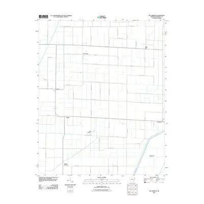
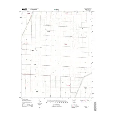
1983 Mc Cormick
Poinsett County, AR
2011 Greenfield
Poinsett County, AR
2011 Hatchie Coon
Poinsett County, AR
2011 McCormick
Poinsett County, AR
2011 Otwell
Poinsett County, AR
2011 Powers Slough
Poinsett County, AR
2011 Risher
Poinsett County, AR
2014 Greenfield
Poinsett County, AR
2014 Hatchie Coon
Poinsett County, AR
2014 McCormick
Poinsett County, AR
2014 Otwell
Poinsett County, AR
2014 Powers Slough
Poinsett County, AR
2014 Risher
Poinsett County, AR
2017 Greenfield
Poinsett County, AR
2017 Hatchie Coon
Poinsett County, AR
2017 McCormick
Poinsett County, AR
2017 Otwell
Poinsett County, AR
2017 Powers Slough
Poinsett County, AR
2017 Risher
Poinsett County, AR
2020 Greenfield
Poinsett County, AR
2020 Hatchie Coon
Poinsett County, AR
2020 McCormick
Poinsett County, AR
2020 Otwell
Poinsett County, AR

2020 Powers Slough
Poinsett County, AR
2020 Risher
Poinsett County, AR
2024 Greenfield
Poinsett County, AR
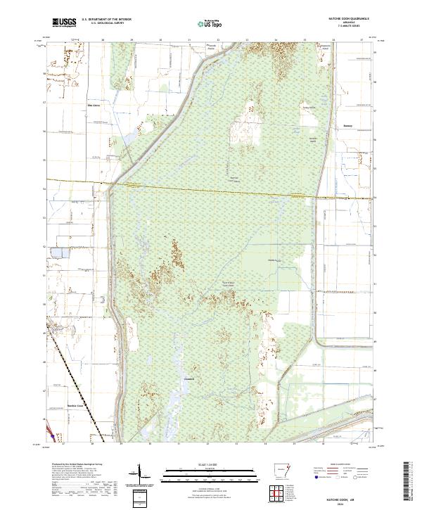
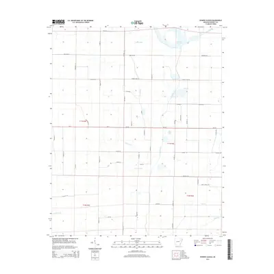
2024 Hatchie Coon
Poinsett County, AR
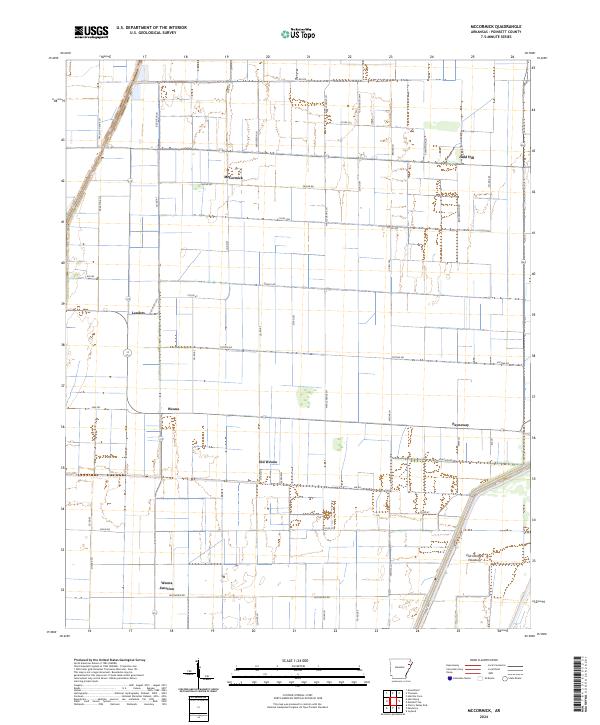
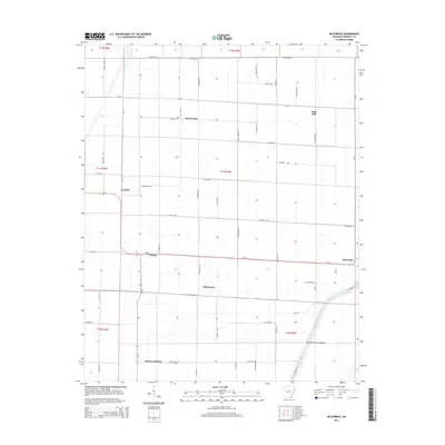
2024 McCormick
Poinsett County, AR
2024 Otwell
Poinsett County, AR
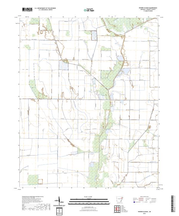
2024 Powers Slough
Poinsett County, AR
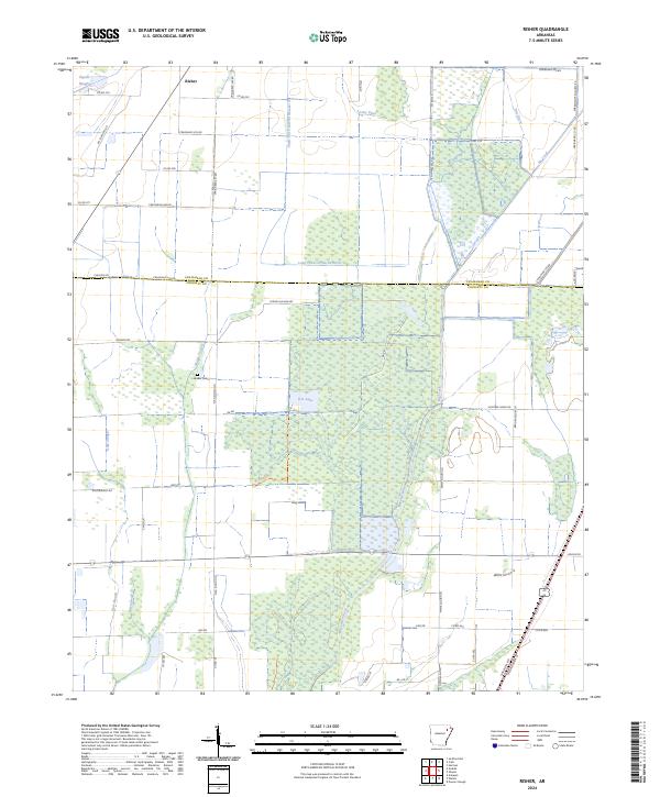
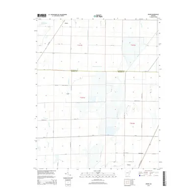
2024 Risher
Poinsett County, AR