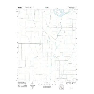
2011 Map of Powers Slough
USGS Topo · Published 2011About this map
The L'Anguille River meanders through this portion of Poinsett County, defining a landscape shaped by significant water management and agricultural drainage systems. In the northeast, the Claypool Reservoir sits as a prominent feature of the local topography, while the John Kocher Lake Dam regulates local flow. The area is characterized by a dense grid of rural roads such as Swan Pond Rd and Weiner Cutoff Rd, which segment the terrain into large agricultural tracts.
Find a feature on this map
47 named features on this map. Tap any name to fly to it.
Don’t see what you’re looking for? This feature index may not catch every label — zoom into the map to look around manually.
Map Details
Editions of this 2011 Powers Slough Map
This is the sole edition of this map. No revisions or reprints were ever made.
Other maps of this area

1939 · Vanndale
USGS Topo · 1:62,500

1939 · Weiner
USGS Topo · 1:62,500

1940 · Princedale
USGS Topo · 1:62,500

1940 · Dee
USGS Topo · 1:62,500

1953 · Memphis
USGS Topo · 1:250,000

1956 · Memphis
USGS Topo · 1:250,000

1956 · Princedale
USGS Topo · 1:62,500

1958 · Dee
USGS Topo · 1:62,500

1958 · Vanndale
USGS Topo · 1:62,500

1959 · Weiner
USGS Topo · 1:62,500