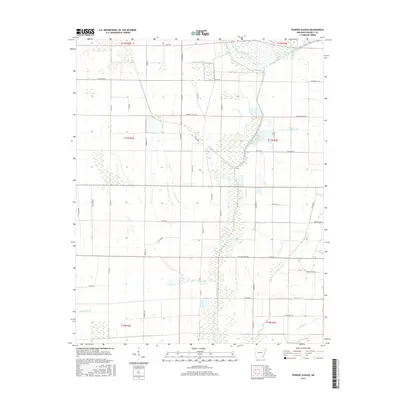
2017 Map of Powers Slough
USGS Topo · Published 2017About this map
The L'Anguille River corridors and its surrounding wetlands define the low-lying agricultural landscape of Poinsett County as it appeared in the mid-2010s. The drainage patterns are clearly marked by features such as Powers Slough and Raccoon Bayou, reflecting the intricate hydrology of the Arkansas Delta. Local transport is dictated by a grid of rural routes including Weiner Cutoff Rd and Reddman Rd, which cut across the township and range lines. Small tributaries like England Cr and Mardis Br feed into the primary river system, providing essential drainage for the surrounding fields. The map also documents specific local landmarks like Swan Pond Rd, which point to the area's natural history and the persistent presence of water in this deltaic environment.
Find a feature on this map
52 named features on this map. Tap any name to fly to it.
Don’t see what you’re looking for? This feature index may not catch every label — zoom into the map to look around manually.
Map Details
Editions of this 2017 Powers Slough Map
This is the sole edition of this map. No revisions or reprints were ever made.
Other maps of this area

1939 · Vanndale
USGS Topo · 1:62,500

1939 · Weiner
USGS Topo · 1:62,500

1940 · Princedale
USGS Topo · 1:62,500

1940 · Dee
USGS Topo · 1:62,500

1953 · Memphis
USGS Topo · 1:250,000

1956 · Memphis
USGS Topo · 1:250,000

1956 · Princedale
USGS Topo · 1:62,500

1958 · Dee
USGS Topo · 1:62,500

1958 · Vanndale
USGS Topo · 1:62,500

1959 · Weiner
USGS Topo · 1:62,500